Browse estuary Resources
Browse estuary Resources
Primary Topic:
Subtopics:
Type:
Keywords:
Summary:
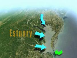
Learn how NASA uses Earth observing satellites to monitor conditions in the Chesapeake Bay over time. Information about pollution, eutrophication, land cover and watershed runoff helps water managers enact policies to improve the health of the Bay.


