Browse Resources
Browse Resources
Primary Topic:
Subtopics:
Type:
Standards:
Keywords:
Summary:
In this promotional video NASA scientists discuss why it is so important to study and track Earth's freshwater resources, and explain the purpose of the Global Precipitation Measurement mission.
Primary Topic:
Subtopics:
Type:
Keywords:
Summary:
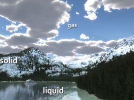
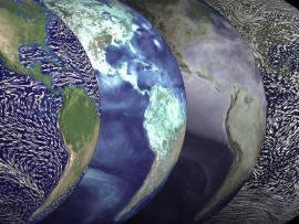
This animation uses Earth science data from a variety of sensors on NASA Earth observing satellites as well as cartoons to describe Earth's water cycle and the continuous movement of water on, above and below the surface of the Earth.
Primary Topic:
Subtopics:
Type:
Audience:
Keywords:
Summary:
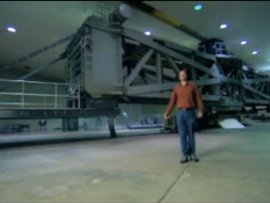
This video takes you on a tour of NASA Goddard Space Flight Center's satellite testing chambers. They are used to test many of NASA's satellites and instruments, including GPM!
Primary Topic:
Subtopics:
Type:
Keywords:
Summary:
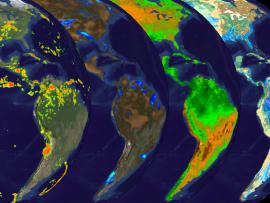
Explore how water moves across land and returns to the ocean in the final installment of the water cycle series. The visualizations illustrate the movement of water on land—from storage of precipitation in soil layers, to its transport via rivers.
Primary Topic:
Subtopics:
Type:
Keywords:
Summary:
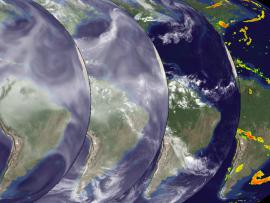
Explore how water droplets form and fall from the sky in part three of the water cycle series. Watch how water vapor moves through the atmosphere and returns to Earth as rain and snow.
Primary Topic:
Subtopics:
Type:
Keywords:
Summary:
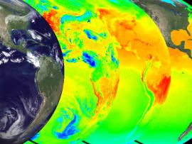
Explore water vapor in the air in part two of the water cycle series. This second part of our series on the water cycle illustrates the way in which evaporation and winds combine to move water from the ocean to the land.
Primary Topic:
Subtopics:
Type:
Keywords:
Summary:
Explore the solar heating of the ocean in part one of a series on the water cycle. The animations show multiple views of the solar heating of the oceans, a picture of this first stage of water's cyclical journey from sea to air to land, and back again.
Primary Topic:
Subtopics:
Type:
Standards:
Keywords:
Summary:
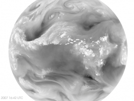
Water vapor - and with it energy - is carried around the globe by weather systems. This satellite image shows the distribution of water vapor over Africa and the Atlantic Ocean.
Primary Topic:
Subtopics:
Type:
Keywords:
Summary:
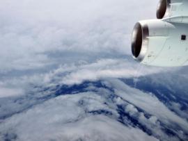
During the 2010 hurricane season, NASA deployed its piloted DC-8 and WB-57, and unmanned Global Hawk aircraft, arming hurricane researchers with the information needed to predict the growth and intensification of hurricanes.
Primary Topic:
Subtopics:
Type:
Keywords:
Summary:
This NASA video segment highlights the impact of drought on a global scale. Viewers learn that during a drought the risk of fire increases. Fire produces soot and ash that travel across continents via the trade winds.


