Browse glaciers Resources
Browse glaciers Resources
Primary Topic:
Subtopics:
Type:
Keywords:
Summary:
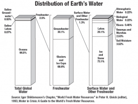
This activity was developed to give participants an understanding of how much and where water is on Earth by participating in a demonstration and using maps.
Primary Topic:
Subtopics:
Type:
Keywords:
Summary:
This classroom activity (originally developed for the GPM Poster) will teach students about the value of Earth's freshwater resources and how important it is to study how water is transferred and stored.
Primary Topic:
Subtopics:
Type:
Keywords:
Summary:
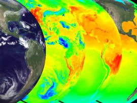
Explore the solar heating of the ocean in part one of a series on the water cycle. The animations show multiple views of the solar heating of the oceans, a picture of this first stage of water's cyclical journey from sea to air to land, and back again.
Primary Topic:
Subtopics:
Type:
Keywords:
Summary:
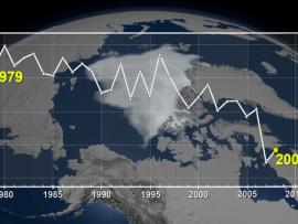
The cryosphere consists of those parts of the Earth's surface where water is found in solid form, including areas of snow, sea ice, glaciers, permafrost, ice sheets, and icebergs. This animation shows fluctuations in the cryosphere.
Primary Topic:
Subtopics:
Type:
Standards:
Keywords:
Summary:
Using satellites, lasers, and radar in space, and dedicated researchers on the ground, NASA is studying the Earth's ice and water to better understand how sea level rise might affect us all.


