Search
Primary tabs
Search
Your search for "model" gave back 31 results.

Primary Topic:
Subtopics:
Type:
Standards:
Keywords:
Summary:
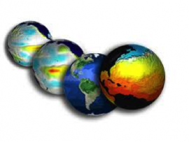
The purpose of this lesson is to expose elementary level students to the practice of “developing and using models” as students explore and identify landforms and bodies of water on a map of the world. It is anticipated that this lesson will take one hour.


Primary Topic:
Subtopics:
Type:
Standards:
Keywords:
Summary:
The purpose of this lesson is to provide students with experience creating models of landforms and bodies of water. Students review the characteristics of landforms and bodies of water in an active game, and then make models of these.

Primary Topic:
Subtopics:
Type:
Standards:
Keywords:
Summary:
Students will investigate the effect of different types of soil on how quickly a landslide occurs and how much mass is moved. They will then relate that information to TRMM/GPM data about rainfall and areas currently at risk of suffering a landslide.

Primary Topic:
Subtopics:
Type:
Keywords:
Summary:
GPM Application Science Lead, Dr. Dalia Kirschbaum, explains how landslides and floods occur, and how satellite imagery is used in understanding these disasters.

Primary Topic:
Type:
Summary:
Master Teacher resources for measuring precipitation.

