Browse Technology Resources
Browse Technology Resources
Primary Topic:
Subtopics:
Type:
Summary:
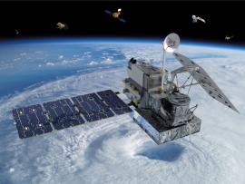
In this article from the summer 2024 edition of The Earth Scientist, learn about NASA's Global Precipitation Measurement mission and the many tools and resources it offers for understanding Earth's water cycle and weather.
Primary Topic:
Subtopics:
Type:
Standards:
Keywords:
Summary:
This video explains why the size and shape of raindrops in a cloud matters to scientists, and how the Global Precipitation Measurement Mission is able to provide these measurements from space.
Primary Topic:
Subtopics:
Type:
Standards:
Keywords:
Summary:
Read about why we need to measure precipitation from space, instead of relying solely on ground-based measurements.
Primary Topic:
Subtopics:
Type:
Keywords:
Summary:
Students will think about their experiences with hurricanes and severe storms, then learn the basics of what causes hurricanes to form. Students will learn how hurricane prediction has progressed, and how satellites can help us understand storms.
Primary Topic:
Subtopics:
Type:
Standards:
Keywords:
Summary:
Students will investigate the effect of different types of soil on how quickly a landslide occurs and how much mass is moved. They will then relate that information to TRMM/GPM data about rainfall and areas currently at risk of suffering a landslide.
Primary Topic:
Subtopics:
Type:
Keywords:
Summary:
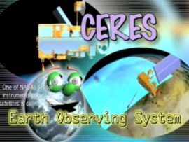
Learn how NASA uses a data-collecting sensor, Clouds and Earth’s Radiant Energy System, or CERES, to study clouds and make accurate measurements of energy leaving Earth.
Primary Topic:
Subtopics:
Type:
Summary:
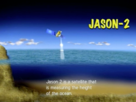
Learn how the satellite, Jason 2, is able to use radar waves to determine the height of sea levels and evaluate the effects of global warming.
Primary Topic:
Subtopics:
Type:
Standards:
Keywords:
Summary:
The animations in this group show the long-term average sea surface temperature, the long term average sea surface salinity, and the the long term average sea surface density.
Primary Topic:
Subtopics:
Type:
Keywords:
Summary:
Learn how scientists use a satellite called CERES to study the clouds and monitor Earth's climate changes.
Primary Topic:
Subtopics:
Type:
Keywords:
Summary:
Part 3 of a 4 part webquest that teaches the basics of precipitation science and technology. Prepares students for the GPM Anime Contest.


