Browse Resources
Browse Resources
Primary Topic:
Subtopics:
Type:
Standards:
Keywords:
Summary:
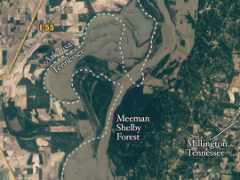
Heavy spring rains and snowmelt led to devastating floods along the Mississippi River in May 2011. Landsat 5 flew over the Mississippi River on May 10, 2011, giving a distinct view of the extraordinary extent of the flooding.
Primary Topic:
Subtopics:
Type:
Standards:
Summary:
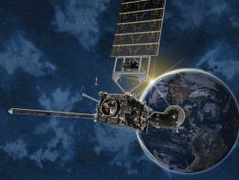
This and other similar tests will verify the deployment function of the GPM Core Observatory solar arrays in ambient condition.
Primary Topic:
Subtopics:
Type:
Keywords:
Summary:
Hurricane Irene's impact in New England shows that tropical cyclones can greatly affect regions outside the view of TRMM. The GPM mission will build upon TRMM's legacy by examining a larger swath of Earth with more sensitive instruments.
Primary Topic:
Subtopics:
Type:
Keywords:
Standards:
Summary:
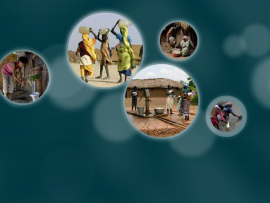
Over one billion people lack access to safe drinking water worldwide. What can be done? Learn more about this problem and explore possible solutions.
Primary Topic:
Subtopics:
Type:
Standards:
Keywords:
Summary:
In this promotional video NASA scientists discuss why it is so important to study and track Earth's freshwater resources, and explain the purpose of the Global Precipitation Measurement mission.
Primary Topic:
Subtopics:
Type:
Keywords:
Standards:
Summary:
An educational website with activities, resources, and games to teach kids of all ages about Earth's systems, water cycle, weather and climate.
Primary Topic:
Subtopics:
Type:
Keywords:
Summary:
This article explains the basics behind the water cycle and includes many good visuals. It provides some good background information about our water cycle as well as providing students with many real-world applications.
Primary Topic:
Subtopics:
Type:
Standards:
Keywords:
Summary:
Satellites can orbit Earth's equator or go over Earth's North and South Poles, or anything in between. They can orbit at a low altitude, or thousands of miles out in space. The choice of orbit all depends on the satellite's job.
Primary Topic:
Subtopics:
Type:
Standards:
Keywords:
Summary:
Hurricanes are the most awesome, violent storms on Earth. People call these storms by other names, such as typhoons or cyclones, depending on where they occur. Whatever they are called, tropical cyclones all form the same way.
Primary Topic:
Subtopics:
Type:
Keywords:
Summary:
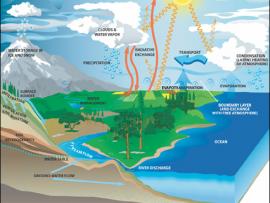
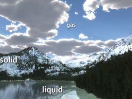
This animation uses Earth science data from a variety of sensors on NASA Earth observing satellites as well as cartoons to describe Earth's water cycle and the continuous movement of water on, above and below the surface of the Earth.


