Browse Resources
Browse Resources
Primary Topic:
Subtopics:
Type:
Keywords:
Summary:
This poster for the Global Precipitation Measurement mission (GPM) shows the GPM Core Observatory and constellation satellites on the front, and GPM information and educational activities on the back.
Primary Topic:
Subtopics:
Type:
Keywords:
Summary:
An informational lithograph / handout which shows images of the GPM Core Observatory and constellation satellites, and explains the goals and methods of the GPM mission.
Primary Topic:
Subtopics:
Type:
Standards:
Keywords:
Summary:
Educational handout in the shape of a raindrop. The front shows a diagram of the water cycle, and the back has information about GPM and facts about water.
Primary Topic:
Subtopics:
Type:
Standards:
Keywords:
Summary:
Using data from various satellites, these images show maps of the location of world droughts compared to where crops are grown.
Primary Topic:
Subtopics:
Type:
Keywords:
Summary:
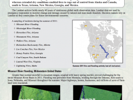
See Landsat images before and after these natural disasters.
Primary Topic:
Subtopics:
Type:
Keywords:
Summary:
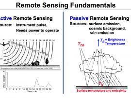
This diagram illustrates the differences between active and passive remote sensing. TRMM and GPM rely on active and passive instruments to measure the properties of precipitation from space.
Primary Topic:
Type:
Standards:
Keywords:
Summary:
Diagram of the multiple precipitation measurement satellites which comprise the GPM constellation.
Primary Topic:
Type:
Audience:
Keywords:
Summary:
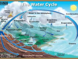
A diagram of the water cycle showing evaporation, condensation, precipitation and more.


