Browse ESS3.C Resources
Browse ESS3.C Resources
Primary Topic:
Subtopics:
Type:
Keywords:
Summary:
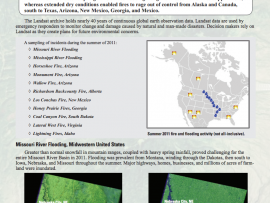
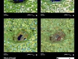
See Landsat images before and after these natural disasters.
Primary Topic:
Subtopics:
Type:
Keywords:
Summary:
View before and after images of natural disasters and human impact in various locations around the world.
Primary Topic:
Subtopics:
Type:
Keywords:
Summary:
View the latest data on the vital signs of the planet, including arctic sea ice levels, carbon dioxide, sea levels, global temperature and land ice.
Primary Topic:
Subtopics:
Type:
Keywords:
Standards:
Summary:
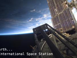
An educational outreach program allowing middle school students to take pictures of our Earth from a digital camera on board the International Space Station. Educators must register in order to participate in EarthKAM missions and request photos of Earth.
Primary Topic:
Subtopics:
Type:
Keywords:
Summary:
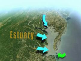
Learn how NASA uses Earth observing satellites to monitor conditions in the Chesapeake Bay over time. Information about pollution, eutrophication, land cover and watershed runoff helps water managers enact policies to improve the health of the Bay.


