For Good Measure

The standing joke when scientists talk about understanding Earth's weather patterns in relationship to climate change is that they need to know three things for their models: precipitation, precipitation and precipitation. Scientists need more data, more frequently, over more of Earth's surface.
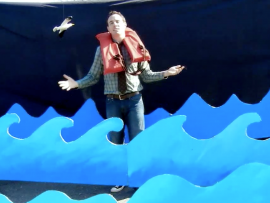
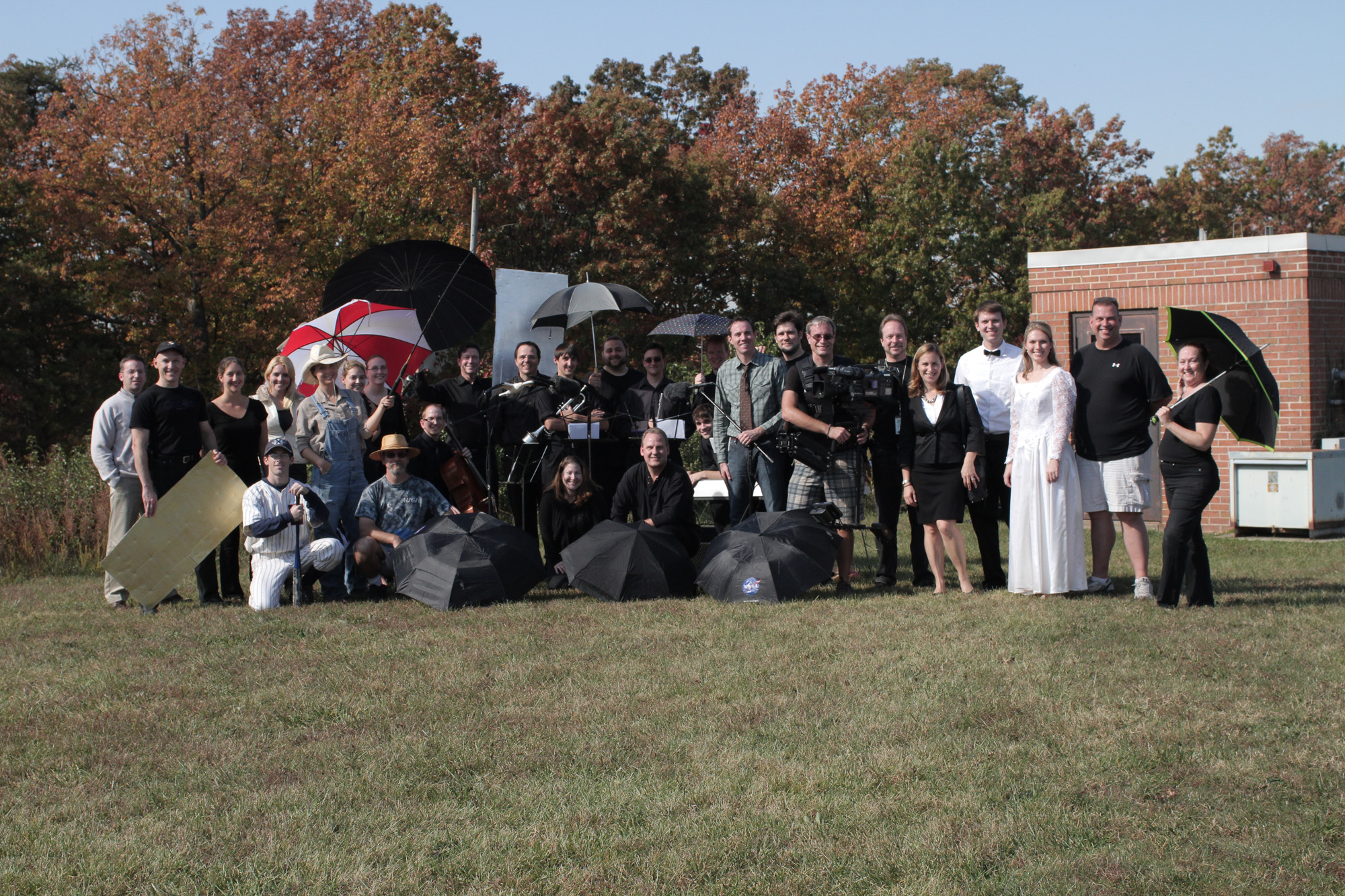
The short video "For Good Measure" explains why scientists turn to satellites to get a worldwide view of rainfall. Filmed at NASA's Goddard Space Flight Center in Greenbelt, Md., with a cast of more than 20 volunteers, the video walks through how rain touches our lives and how scientists plan to improve measurements with the upcoming Global Precipitation Measurement mission. The video can be downloaded in HD at: http://svs.gsfc.nasa.gov/vis/a010000/a011200/a011219/
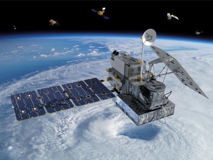
The Global Precipitation Measurement mission, or GPM, provides the next generation of rainfall measurements from space. The mission is designed to tap into the observational power of nine independent satellites flying around Earth and combine their precipitation data into a single, global data set every three hours. With combined measurements, the GPM constellation becomes a powerful tool for observing rainfall worldwide.
Observing rainfall has become standard in our modern world. Where the rain goes, so too do the umbrellas -- and flood warnings, drought assessments, estimates for freshwater water reservoirs, long term planning for farmers, alerts for waterborne diseases, even famine early warning systems. Rain, snow, winter mix, hail and every other form of water falling from the sky touches everyone on Earth.
But the whole Earth surface is not covered by instruments to measure precipitation. Rain gauges collect precipitation in one spot that often represents huge areas. In the United States, for example, the National Weather Service maintains on average one rain gauge for every 400 square miles (about 20 miles apart). That's one point to represent rainfall, which is fine for looking at the regional picture, but not as good for covering the effects of individual rainstorms.
To measure and study incoming storms, meteorologists and scientists often use ground radar. Individual radars can cover an average area of 50,000 square miles (a range of 125 miles in each direction), and when combined with other radars in a network a more complete picture of the coming precipitation takes shape. However, even in countries with excellent radar coverage, gaps still exist, especially for higher altitude clouds that are out of reliable radar range and over mountain ranges that can block the radar signals.
In many places around the world, countries can't afford to have dense networks of rain gauges or radars, and so they often go without. Over the ocean, measurements from ships and islands are even fewer and farther in between. That's 78 percent of the world where we don't know, from the surface, how much fresh water is raining down into the salty oceans. And that means fewer data points for scientists to use to predict future weather and climate changes around the world.
Satellites fill in those gaps. Circling hundreds of miles above us, Earth-observing satellites take measurements of the whole globe. The GPM mission is based on the success of the Tropical Rainfall Measurement Mission, or TRMM. This pioneering precipitation satellite circles Earth at an angle that allows it to see all the rainfall in the tropics, an area between the latitudes of 35 north and 35 south, the southern border of Tennessee and about halfway through Argentina.
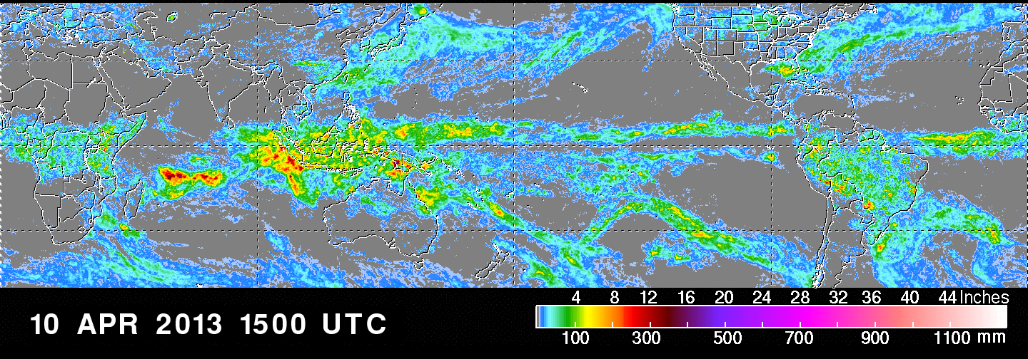
Scientists wanting more observations combine TRMM's advanced rain data with data from other satellites that measure rainfall. This system allows them to increase the number of rainfall measurements over the course of a day and expand coverage to 45 degrees north and 45 degrees south (the U.S.-Canadian border and almost the tip of South America). But they still don't have a clear picture of higher latitudes toward the poles, especially areas that typically have light rainfall or snow that most satellites, including TRMM, cannot detect.
Enter GPM's Core Observatory at the heart of the new rain-monitoring constellation of satellites. It carries sophisticated instruments that can measure heavy tropical rains near the equator and detect light rain and falling snow near the poles. It will serve as a reference standard for all nine satellites and unify their measurements to provide a global precipitation data set that covers the area from the Arctic Circle to the Antarctic Circle (65 degrees north and 65 degrees south) every three hours.
The GPM mission was initiated by NASA and the Japan Aerospace Exploration Agency (JAXA), and also includes partnerships with the space agencies of France and India, as well as the agencies that operate meteorological satellites in Europe and the United States. NASA and JAXA are providing the GPM Core Observatory, which will launch from Japan in early 2014.
To download the video in HD, visit: http://svs.gsfc.nasa.gov/vis/a010000/a011200/a011219/
Click here for a behind the scenes look at the making of "For Good Measure"
Video Text:
We plan our lives around rain. We always want to know when and where and how much. Not just for our weekend plans, but for how we make decisions about our safety and transportation, our economy, our livelihoods. So, how do we measure rain? Well, we can set out a rain gauge, like this one, and it measures the amount of rain that falls over time. The problem with this is that only measures rain in one very small spot. In fact, if you took all the rain gauges in the world packed them together, they would into two basketball courts. Now we can cover more ground if we use radar. Radar sends out a signal, and it measures how much of that signal is scattered by rain or snow. But radars are only available in certain parts of the world, and many countries just don't have access to that technology. And that's just on land. Think about how we're going to measure rain over all of the world's oceans. Look, the point is it's impossible to cover the entire Earth with enough instruments that are going to give us accurate precipitation rates for the whole globe.
So, we have to think bigger and higher. Instead of having a patchy network of rain gauges and radars, we can have a whole constellation of satellites looking down at the Earth, measuring things like falling rain, snow and even ice. The Global Precipitation Measurement mission, or GPM, is going to do that. And it's going to give us precipitation rates for the whole globe every three hours. Now GPM is going to cover it all: from land and oceans, from the tropics to the edge of the poles, over mountains and valleys, from our farmland to our cities and towns. We're going to need more than a perspective on the ground if we're going to look at precipitation from a truly global standpoint, and GPM is just the mission that's going to give us that big picture.
NASA SVS


