
Contents
- Short Guides
- Using the Landslide Viewer Application
- How-to Guides: COOLR
- How-to Guide: LHASA Version 1 on Google Earth Engine
Short Guides
This short 2-page guide will help you get started quickly with Landslide Reporter. We recommend that you read the how-to guides below to learn how to make your landslide reports the most valuable to scientists.
**Please note, guides in other languages were generously translated by our citizen scientist volunteers. These guides have not been cleaned by NASA except where noted, and so we cannot guarantee the accuracy of the translations.
Using the Landslide Viewer Application
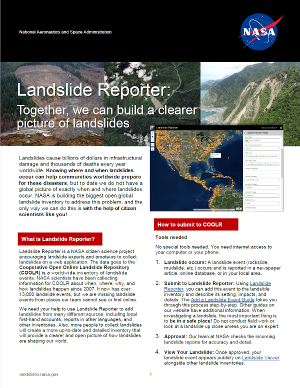
Landslide Viewer is the portal to visualize the data from the Cooperative Open Online Landslide Repository (COOLR). You can access Landslide Viewer at landslides.nasa.gov/viewer. Data visualized include citizen science landslide reports, Global Landslide Catalog data, and other landslide inventory data. You can customize the map view by selecting different layers with landslide and environmental information. You can also download all landslide data or get the ArcGIS REST API for in-depth analysis from the portal.
For more information on how to navigate Landslide Viewer, click here.
How-to Guides: COOLR
Are you ready to contribute to COOLR? Reviewing the How-to Guides below will help you make a better submission to the inventory as you browse through basic information on landslides, hone your skills at identifying landslides, step through the report process, and follow tips on pinpointing a landslide’s location.
You can access the application at landslides.nasa.gov/reporter. And remember, when investigating a landslide, the most important thing is to be in a safe place! Do not conduct field work or look at a landslide up close unless you are an expert.
**Please note, guides in other languages were generously translated by our citizen scientist volunteers. These guides have not been cleaned by NASA except where noted, and so we cannot guarantee the accuracy of the translations.
 |
Primer and Landslide Identification The basics of landslides and why we study them. For those who are new to landslides, you can read about how to identify landslide types, from rock falls to creeps. |
 |
Landslide Identification Training Train your eye to identify landslides by their type and size in preparation for submitting using Landslide Reporter. An image and description is displayed on each page and its respective size and categorizations on the following page. Use the classification and size charts from the Landslide Primer chapter to help identify. Volunteer Translations**
|
 |
Add a Landslide Event to COOLR The step-by-step instructions for submitting a landslide event to COOLR. Let this guide walk you through everything from finding a landslide to how to fill out each category, and then how to go back and review your submissions. Volunteer Translations**
|
 |
Tips to Pinpoint Landslide Location from a News Article When reporting landslides from a news article, it may be challenging to find exactly where the landslide occurred. This guide gives suggestions on how to use keywords to hone in on the location, discusses location accuracy, and shows how to use Google Maps or Google Earth to your advantage. |
How-to Guide: LHASA Version 1 on Google Earth Engine
The global Landslide Hazard Assessment for Situational Awareness version 1.1 (LHASA 1.1) maps when and where landslides may occur (for more information, review the Landslide Team Projects page). To run LHASA Version 1 on your own, follow the how-to guide below. You need access to the code window of Google Earth Engine, three text files (ARI_Calculation_Code.txt, Precip_Visualization_Code.txt, and Susceptibility_Code.txt, available in SERVIR Landslide page: https://github.com/SERIVR/LHASA-Mekong), and a susceptibility geotiff file of the region you are running LHASA Version 1 for. To do so, download the NASA Landslide Susceptibility map, and clip to your region of interest. The how-to guide first walks through how to pull in precipitation data, antecedent rainfall index, and historical antecedent rainfall index into Google Earth Engine. Next, the guide shows how to pull in the clipped susceptibility map into Google Earth Engine. Lastly, the guide walks through how to run the LHASA Version 1 script in Google Earth Engine. If you have any questions, email Dr. Nishan Kumar Biswas (n.biswas@nasa.gov).
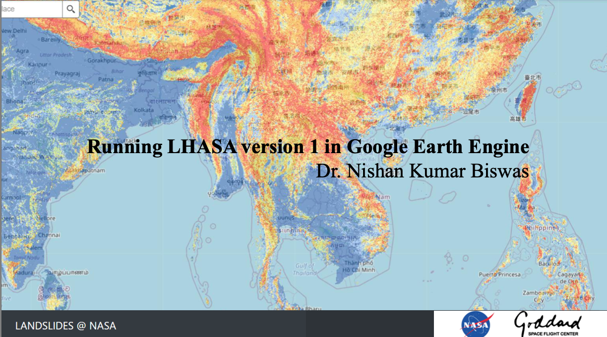 |
Running LHASA Version 1 in Google Earth Engine Training guide on running the Landslide Hazard Assessment for Situational Awareness version 1.1 (LHASA 1.1) in Google Earth Engine. |
For even more information about landslides and safety, browse the Related Sites page in Resources.
Other Trainings
Connect with Us
Twitter: @LandslideReport
Facebook: LandslideReporter
SciStarter: Join us on our project page
Connect with the Community
Google Groups: Landslide Reporter Community
Contact Us
For any questions related to this system, please contact landslide_support@nccs.nasa.gov