Search
Primary tabs
Search
Your search for "satellite" gave back 103 results.
Primary Topic:
Type:
Summary:
Master Teacher resources for measuring precipitation.
Primary Topic:
Subtopics:
Type:
Keywords:
Summary:
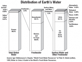
This classroom activity (originally developed for the GPM Poster) will teach students about the value of Earth's freshwater resources and how important it is to study how water is transferred and stored.
Primary Topic:
Subtopics:
Type:
Standards:
Keywords:
Summary:
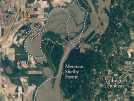
Heavy spring rains and snowmelt led to devastating floods along the Mississippi River in May 2011. Landsat 5 flew over the Mississippi River on May 10, 2011, giving a distinct view of the extraordinary extent of the flooding.
Primary Topic:
Subtopics:
Type:
Standards:
Keywords:
Summary:
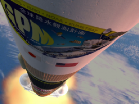
This animation shows the launch and deployment of the GPM Core Observatory. GPM is scheduled to launch in 2014 on an H-IIA rocket in Japan.
Primary Topic:
Subtopics:
Type:
Standards:
Summary:
This problem-based learning module takes students through a real-world scenario drought in Texas and has them use satellite images and other actual data to answer questions about how Texas and other states should respond to the situation.
Primary Topic:
Subtopics:
Type:
Keywords:
Summary:
GPM Application Science Lead, Dr. Dalia Kirschbaum, explains how landslides and floods occur, and how satellite imagery is used in understanding these disasters.
Primary Topic:
Subtopics:
Type:
Keywords:
Summary:
See Landsat images before and after these natural disasters.


