Browse 6 - 8 Resources
Browse 6 - 8 Resources
Primary Topic:
Subtopics:
Type:
Standards:
Keywords:
Summary:
You get to be the scientist in the "Build It Yourself: Satellite!" game! Choose what science your satellite will be used to study, and then decide what wavelengths, instruments, and optics will help you learn the most about the science you've chosen.
Primary Topic:
Subtopics:
Type:
Standards:
Keywords:
Summary:
Understanding the mechanisms behind potential climate changes will allow accurate predictions of impacts to human health and the social and political factors which will affect the well-being of millions of Earth’s inhabitants.
Primary Topic:
Subtopics:
Type:
Standards:
Summary:
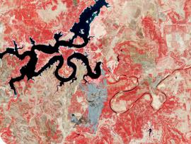
This problem-based learning module takes students through a real-world scenario drought in Texas and has them use satellite images and other actual data to answer questions about how Texas and other states should respond to the situation.
Primary Topic:
Subtopics:
Type:
Keywords:
Summary:
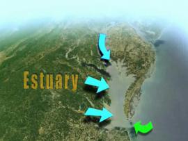
Learn how NASA uses Earth observing satellites to monitor conditions in the Chesapeake Bay over time. Information about pollution, eutrophication, land cover and watershed runoff helps water managers enact policies to improve the health of the Bay.
Primary Topic:
Subtopics:
Type:
Keywords:
Summary:
Students then collect and analyze data about the size and shapes of raindrops. Students have the opportunity to compare a 2-D representation to a 3-D representation to understand why scientists use multiple sources of data to study Earth Systems.
Primary Topic:
Subtopics:
Type:
Keywords:
Summary:
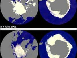
This website explores NASA's role in characterizing, understanding and predicting climate variability and change.
Primary Topic:
Subtopics:
Type:
Keywords:
Summary:
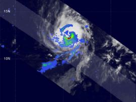
This website offer teachers and their students some background on how NASA is supporting the study of Earth's weather systems. There is a good image of TRMM data being used to understand tropical storms, and links to other websites with additional info.
Primary Topic:
Subtopics:
Type:
Standards:
Keywords:
Summary:
In this lesson, weather data from ground-based and satellite observations are analyzed for a real world application -- to plan a high mountain retreat in Tibet.
Primary Topic:
Subtopics:
Type:
Keywords:
Summary:
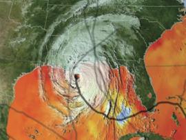
In this activity, students are tasked with conducting an Earth systems analysis of Hurricane Katrina that will help answer the question "Is global warming causing an increase in hurricane frequency and intensity?"
Primary Topic:
Subtopics:
Type:
Standards:
Keywords:
Summary:
Using satellites, lasers, and radar in space, and dedicated researchers on the ground, NASA is studying the Earth's ice and water to better understand how sea level rise might affect us all.


