

Soil Moisture
Soil moisture content is a measure of the amount of water in the soil. Knowing how much water is held in the soil is useful for many applications, including improving agricultural productivity, assessing drought and flood conditions, and even estimating groundwater supplies. NASA has teamed with the U.S. Department of Agriculture (USDA) - Foreign Agricultural Service (FAS) to develop a global soil moisture map fashioned for FAS by integrating soil moisture observations from the Earth Observing System Advanced Microwave Scanning Radiometer (AMSR-E) instrument into the USDA FAS soil moisture model. Adding satellite-based observations of soil moisture to the USDA FAS soil moisture modeling approach provides more realistic global estimates of surface and root-zone soil moisture and is envisaged to significantly improve the global crop forecasting ability of the USDA FAS. Currently, scientists are using TRMM data to evaluate the utility of this approach for improving agricultural drought monitoring and forecasting agricultural productivity on several areas of the globe.
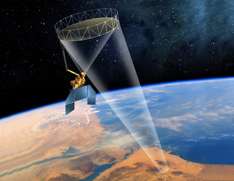
Artists rendering of the SMAP satellite.
GPM data is also valuable for the upcoming Soil Moisture Active Passive (SMAP) mission. SMAP launched January 31st 2015 and maps soil moisture and the freeze/thaw state of the surface from space. The instruments onboard SMAP have difficulty obtaining a clear observation of the soil surface when it is raining, which is expected to cause errors in the SMAP soil moisture retrievals. The addition of GPM data to the SMAP soil moisture algorithm provides a more robust approach for assessing the times and locations of rainfall events so that the SMAP mission can correctly interpret the soil moisture data.