Ground and Airborne Instruments
To gain a better understanding of precipitation processes and to assess and refine the physical assumptions that go into the GPM algorithms, the ground validation team makes field measurements of specific parameters that describe the physical characteristics and variability of rainfall, including rainfall intensity, distribution, particle shape and precipitation type. Ground validation uses specific ground instrumentation infrastructure developed to observe, quantify and document the physical properties of precipitation. These instruments include:
The NASA NPOL radar
A research grade S-band, scanning dual-polarimetric radar. The NPOL underwent a complete antenna system upgrade in 2010 and is one of two fully transportable research-grade S-band systems in the world. It is used to make accurate volumetric measurements of precipitation including rainfall rate, particle size distributions, water contents and precipitation type.
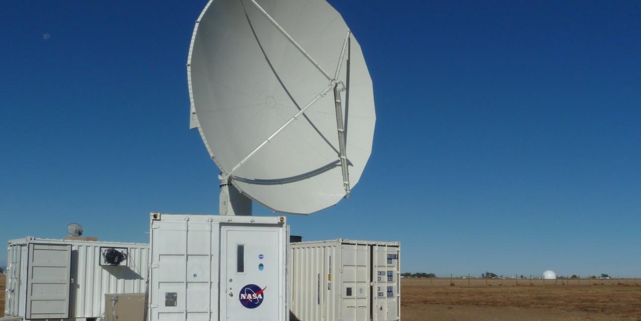
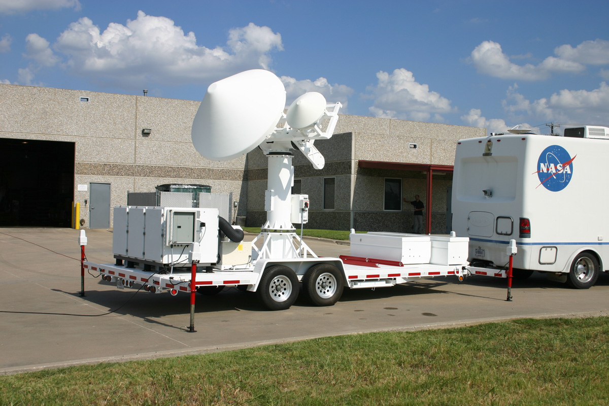
The NASA Dual-frequency Dual-Polarimetric Doppler Radar (D3R)
D3R is a transportable radar with the same frequencies as the GPM Core satellite Dual-frequency Precipitation Radar (DPR). It is used for assessing dual-frequency path integrated attenuation algorithms and quantifying rainfall rate, particle size distributions, water contents and precipitation type. It is especially useful for studying falling snow.

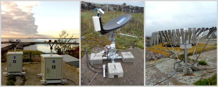
GPM Disdrometer, Radar and Raingauge Observations of Precipitation (DROP).
The DROP instruments represent a suite of disdrometers, rain and snow gauges, and Micro Rain Radars that are deployed in the field individually or as a network. The instruments measure the horizontal variability of precipitation size distributions and rates, the vertical structure and changes in precipitation character, and also form a means to anchor and calibrate radar measurements of precipitation made from platforms such as NPOL.
Prior to launch, the ground validation team is also developing the NASA Wallops Flight Facility (WFF) high density rain gauge and disdrometer error characterization network. This network will operate continuously under the scanning domain of the NPOL radar at its Wallops home base situated along the eastern shore of Virginia. Here the team will evaluate errors associated with moving from point (gauge) to area (radar, satellite) measurements of rainfall at both radar and satellite footprint scales. The team will also use the measurements to do basic studies of precipitation characteristics and variability in a coastal environment, as a potential tool for footprint scale direct rain rate and drop size distribution validation, and to study how multi-sensor rainfall observations can be best assimilated into numerical weather prediction models.
Learn about the GPM Precipitation Science Research Facility at Wallops Flight Facility


