Data Visualization
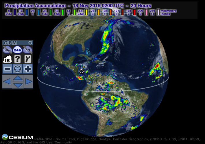
IMERG Global Viewer
View the latest near-realtime GPM IMERG global precipitation datasets (30 minute, 1 day, 7 day) on an interactive 3D globe in your web browser.
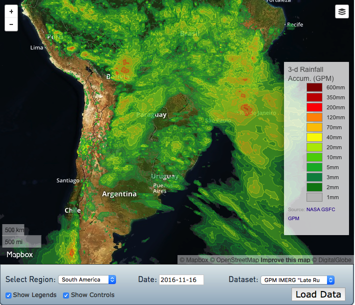
Precipitation and Applications Viewer (v2)
View and download various precipitation and applications datasets from the past 60 days (30 minute, 1 day, 3 day, 7 day precipitation, floods nowcast, landslides nowcast). Download datasets in various popular formats (TIF, SHP, arcJSON, geoJSON, topoJSON) and learn how to directly access the data via the PMM Publisher API.
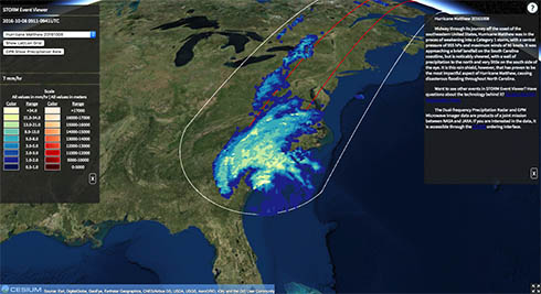
STORM Event Viewer
View 2D GMI and 3D DPR data from the latest extreme weather events on an interactive 3D globe in your web browser.
(click here for mobile version)
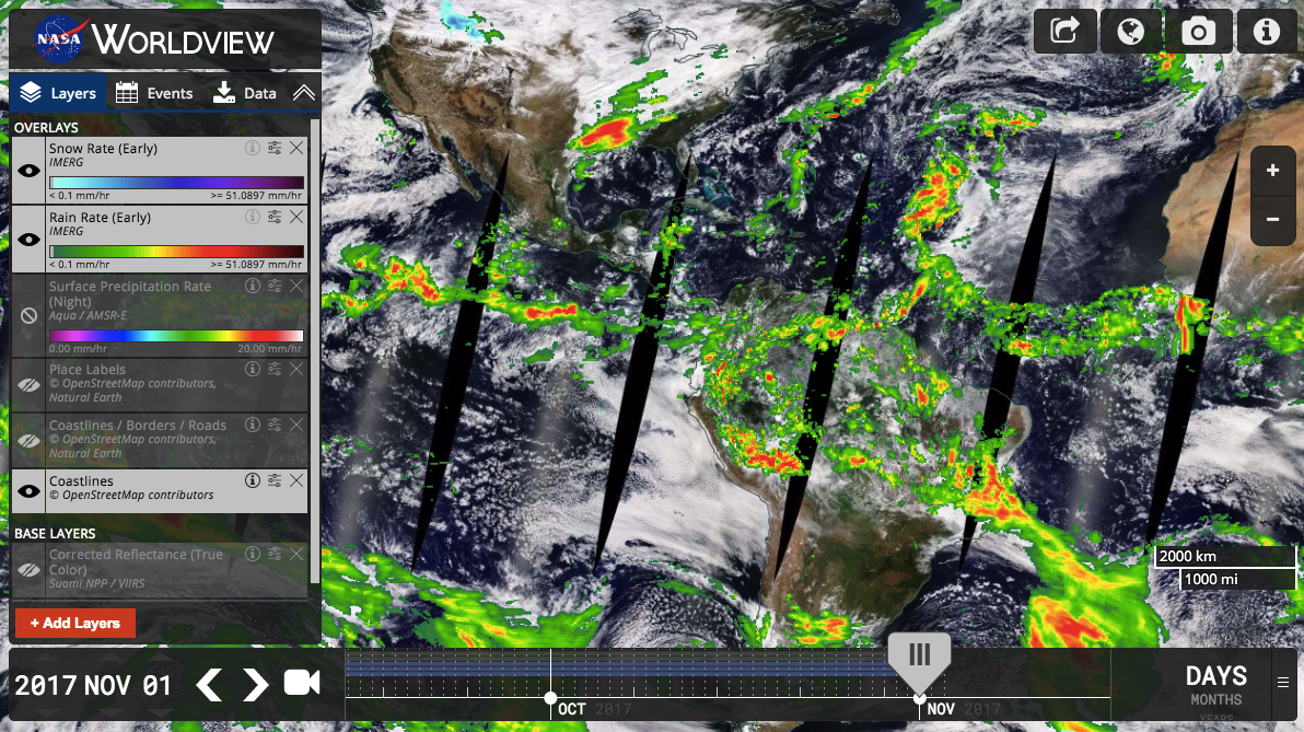
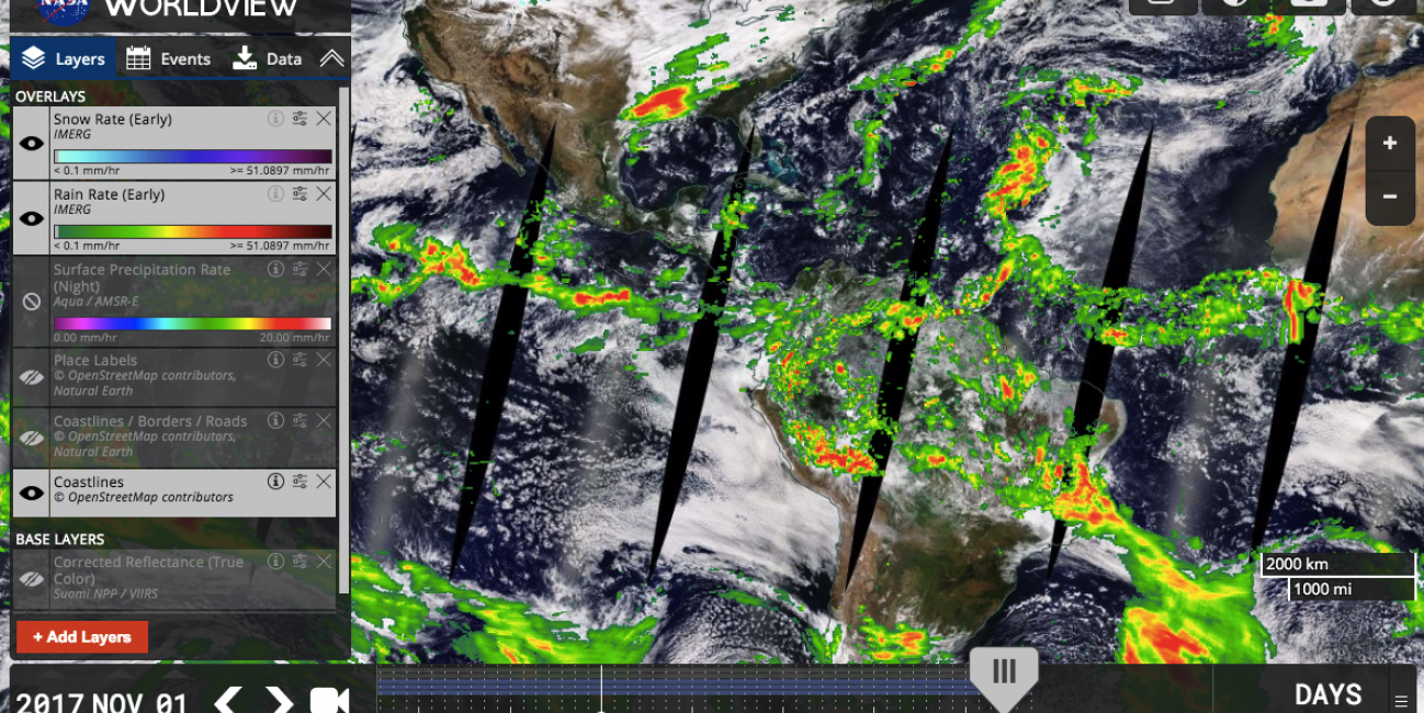
NASA Worldview
This tool from NASA's Earth Observing System Data and Information System (EOSDIS) provides the capability to interactively browse global, full-resolution satellite imagery and then download the underlying data, including data from the Global Precipitation Measurement Missions.
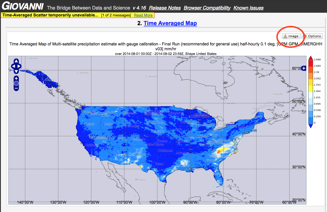
GES DISC Giovanni
This website from the NASA GES DISC provides a powerful tool for viewing, analyzing, and downloading multiple Earth science datasets (including TRMM and GPM) from within your web browser. This tools is capable of generating custom time averaged maps, animations, multi-variable correlations, regional subsetting, and much more.
Click here for a tutorial on creating precipitation maps using Giovanni
IMERG Global Viewer
View the latest near-realtime GPM IMERG global precipitation datasets (30 minute, 1 day, 7 day) on an interactive 3D globe in your web browser.
Precipitation & Applications Viewer (v2)
View and download various precipitation and applications datasets from the past 60 days (30 minute, 1 day, 3 day, 7 day precipitation, floods nowcast, landslides nowcast). Download datasets in various popular formats (TIF, SHP, arcJSON, geoJSON, topoJSON) and learn how to directly access the data via the PMM Publisher API.
STORM Event Viewer
View 2D GMI and 3D DPR data from the latest extreme weather events on an interactive 3D globe in your web browser. (click here for mobile version)
NASA Worldview
This tool from NASA's Earth Observing System Data and Information System (EOSDIS) provides the capability to interactively browse global, full-resolution satellite imagery and then download the underlying data, including data from the Global Precipitation Measurement Mission. As of July 2025, Worldview can now visualize over 20 years of near-realtime IMERG precipitation data.
GES DISC Giovanni
This website from the NASA GES DISC provides a powerful tool for viewing, analyzing, and downloading multiple Earth science datasets (including TRMM and GPM) from within your web browser. This tools is capable of generating custom time averaged maps, animations, multi-variable correlations, regional subsetting, and much more.
Click here for a tutorial on creating precipitation maps using Giovanni


