GPM Probes Tropical Storm Isaac
Hurricane Florence, tropical storm ISAAC and hurricane Helene are currently active in the Atlantic Ocean. Tropical storm ISAAC is the next tropical cyclone to affect the western Atlantic. It is moving westward toward the Leeward and Windward Islands. The National Hurricane Center (NHC) predicts that ISAAC will pass through the Leeward and Windward Islands and move into the Caribbean Sea over the next few days. The NHC predicts that ISAAC will weaken as it encounters moderate vertical shear and nearby dry air.
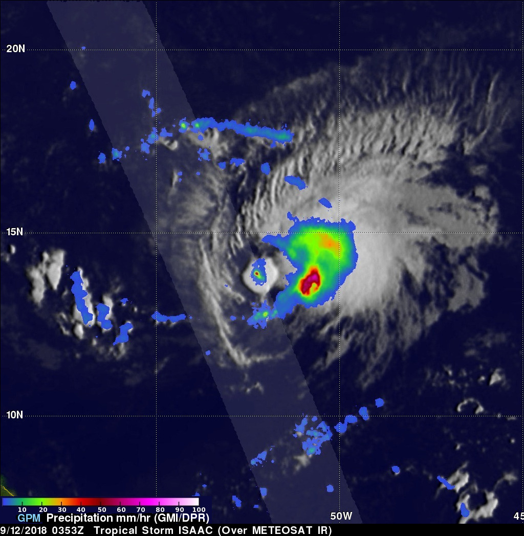
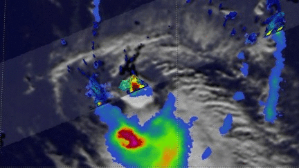
The GPM core observatory satellite had an excellent view of tropical storm ISAAC on September 11, 2018 at 11:53 PM EDT (September 12, 2018 0353 UTC). The satellite revealed that, although expected to weaken, ISAAC still contained some powerful convective storms. The GPM satellite's Microwave Imager (GMI) and Dual-Frequency Precipitation Radar (DPR) instruments collected data that were used in this analysis of ISAAC's rainfall. Those data showed that the heaviest rainfall within the tropical storm was located to the southeast of ISAAC's center of circulation. GPM's radar (DPR Ku Band) measured rain falling at a rate of over 140 mm (5.5 inches) per hour when it sliced through an isolated convective burst southwest of ISAAC's center.
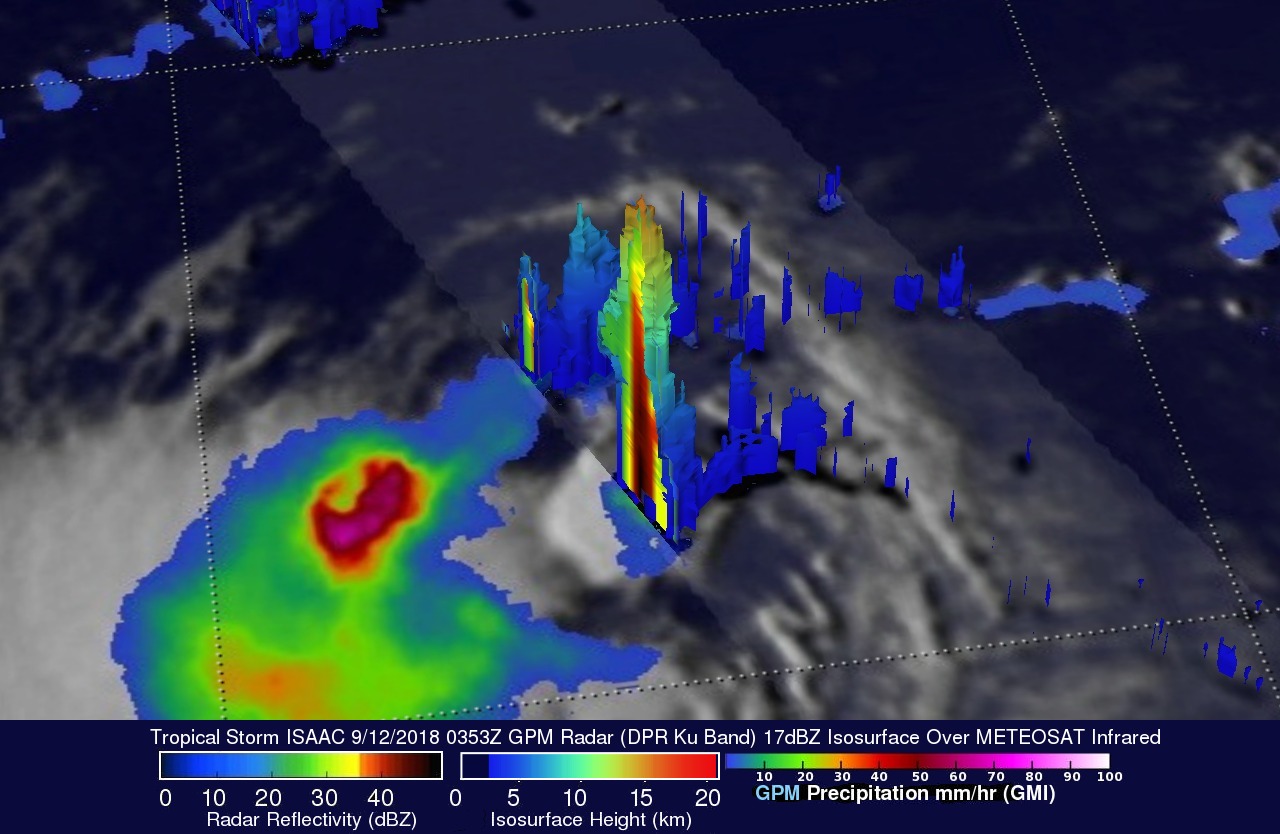
GPM's radar (DPR ku Band) data were used in this 3-D view from the north-northeast to show the 3-D structure of precipitation within the convective burst southwest of ISAAC's center of circulation. DPR found that heavy downpours there were returning radar reflectivity values of over 52 dBZ to the satellite. Storm tops were found by GPM's radar to reach heights above 16.2 km (10.0 km) in this area of convection.