
NASA Satellite Precipitation Data Joins the Air Force
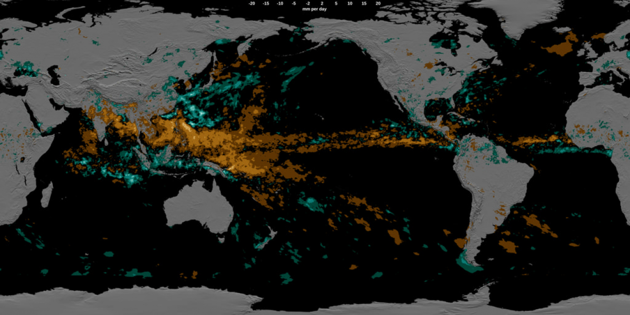
Rain gauges are plentiful around the United States, but that’s not the case elsewhere in the world – particularly over oceans and sparsely populated areas. That means scientists and other data users have to rely on satellite measurements – such as those provided by NASA’s Global Precipitation Measurement (GPM) mission – to fill in the gaps.
The list of data users now includes the U.S. Air Force’s 557th Weather Wing. For the first time, the Air Force meteorology unit has integrated the Integrated Multi-satellite Retrievals for GPM (IMERG) algorithm into its operational weather forecasts and advisories.
“The IMERG precipitation data are an invaluable input to global land surface characterization capabilities, as well as input to numerical models,” said Maj. Kurtis A. Schubeck, chief of weather prediction and modeling strategy at the Headquarters Air Force Directorate of Weather.
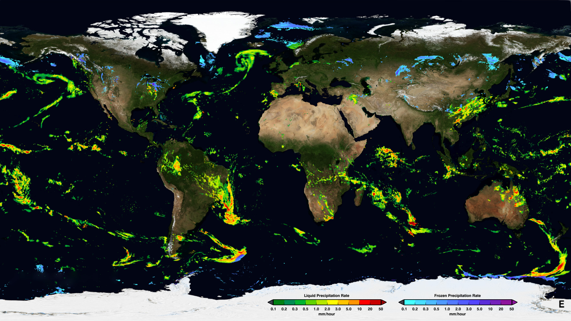
An example of the GPM IMERG Early Run half-hourly precipitation rates from January 24th, 2020. Learn more about IMERG
NASA's IMERG product combines observations from a network of satellites affiliated with the GPM mission in order to estimate precipitation over most of Earth’s surface. Using a data blending technique, IMERG pieces together observations from several different satellites into one complete picture of global precipitation.
In some parts of the world, such as large sections of Africa, ground-based measurements of precipitation are minimal. That means estimates from satellite sources such as IMERG are sometimes the only way for the U.S. Air Force to obtain information on rainfall and precipitation in a region. IMERG allows precipitation estimates to be more comprehensive and available at near real-time intervals.
“IMERG is a one-stop shop for how much precipitation is falling around the world and, arguably, it's one of the most accurate,” said Dr. Jerry Wegiel, principal investigator for the Department of Defense and Intelligence Community components of the NASA Land Information System.
Read the full story at nasa.gov: NASA Satellite Precipitation Data Joins the Air Force