Tropical Cyclone Gaja's Rainfall Measured With IMERG
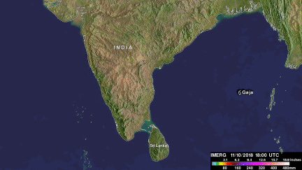
Tropical cyclone Gaja recently caused the deaths of at least 33 people in the southern India state of Tamil Nadu. Gaja's high wind and heavy rains caused landslides and building collapses. Gaja's maximum sustained winds had reached about 75kts (86 mph) when it hit southern India on Friday November 16, 2018. This meant that Gaja was the equivalent of a category one on the Saffir-Simpson hurricane wind scale. Today another tropical low is also moving over southern India and is expected to produce more heavy rainfall in the same area.
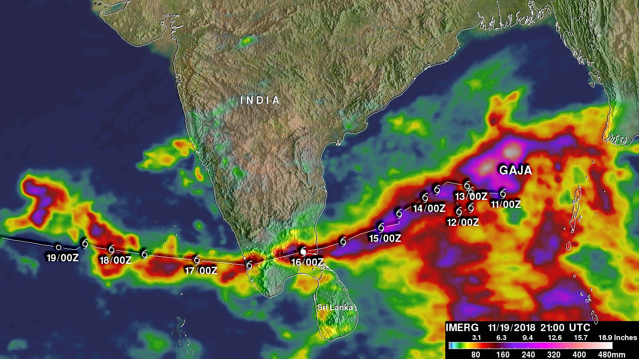
NASA's Integrated Multi-satellitE Retrievals for GPM (IMERG) data were used to show rainfall accumulation estimates for tropical cyclone Gaja. This image shows the results of near real-time precipitation measurements that where made when tropical cyclone Gaja was occurring. Appropriate tropical cyclone symbols show the approximate locations of tropical cyclone Gaja from when it formed over the Bay of Bengal until it was dissipating in the Arabian Sea. This IMERG rainfall accumulation analysis revealed that the most extreme rain totals were located in the eastern Bay Of Bengal where Gaja meandered before heading toward southern India. This IMERG analysis indicates that accumulated rainfall total estimates were greater than 512 mm (20.2 i inches) in that part of the Bay Of Bengal.