Algorithms

GPM flying over Earth with a data swath visualized.
Precipitation radiometers provide additional degrees of freedom for interpreting rain and snow in clouds through the use of multiple passive frequencies (9 for TRMM and 13 for GPM). Brightness temperatures at each frequency are a measure of everything in their field of view. These frequencies from the low (10 GHz) end to the high (183 GHz) end transition from being sensitive to liquid rain drops to being sensitive to the snow and ice particles. So, simplifying, when there is liquid rain in the cloud column, the low frequency channels will respond; when there is snow the high frequency channels...
GPM flying over Earth with a data swath visualized.
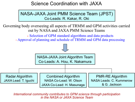
The combined use of coincident active and passive microwave sensor data provides complementary information about the macro and microphysical processes of precipitating clouds which can be used to reduce uncertainties in combined radar/radiometer retrieval algorithms. In simple terms, the combined algorithms use the radiometer signal as a constraint on the attenuation seen by the radar. The combined retrievals produce a hydrometeor profile, particle size distribution and surface parameters for which brightness temperatures and reflectivities are consistent with the actual satellite measurements...
GPM flying over Earth with a data swath visualized.
The unique function of precipitation radars is to provide the three-dimensional structure of rainfall, obtaining high quality rainfall estimates over ocean and land. Radar measurements are typically less sensitive to the surface and provide a nearly direct relationship between radar reflectivities and the physical characteristics of the rain and snow in a cloud. Because of the complexities of operating radar in space, limited channels (frequencies) are designed for the instruments. TRMM has a single frequency radar at the Ku-band particularly sensitive to moderate rain rates. With a single...
GPM flying over Earth with a data swath visualized.
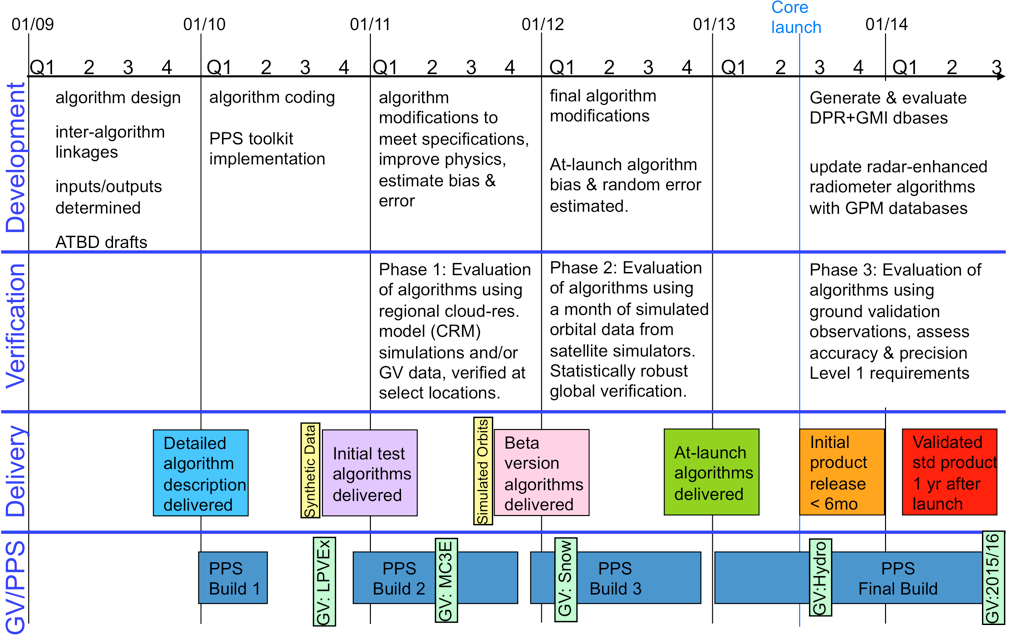
Precipitation data sets, referred to as "products", are available at a variety of levels which denote the amount of processing that data has been through. These range from the raw instrument data to precipitation model outputs which are mathematically derived using the raw data as an input. Below are the definitions for each level: Level 0 Raw instrument data Level 1A Reconstructed, unprocessed instrument data at full resolution, time referenced, and annotated with ancillary information, including radiometric and geometric calibration coefficients and georeferencing parameters (i.e., platform...