Henriette

TRMM Sees Weakening Henriette

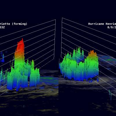
As predicted by the National Hurricane Center (NHC), hurricane Henriette has started a weakening trend. The TRMM satellite flew over Henriette again on August 9, 2013 at 0122 UTC (~ 4 PM local time). The image above shows a comparison between this latest orbit and another visible image from TRMM's previous orbit on August 8, 2013 at 1709 UTC. The eye that was apparent in the previous image was no longer distinct in the latest TRMM pass. The image of the right shows that rain was still falling at a rate of over 161mm/hr (~6.3 inches) near the center of the hurricane. The image above shows a

Hurricane Henriette Still Strong

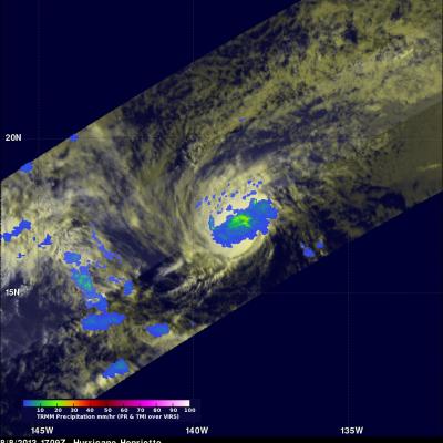
The TRMM satellite saw hurricane Henriette again on August 8, 2013 at 1709UTC (~8:09 AM Local Time). Henriette is predicted to start weakening tomorrow but with this TRMM pass the hurricane's eye could still be easily found on the TRMM visible (VIRS) image on the left. Henriette was small but TRMM's Microwave Imager (TMI) and Precipitation Radar (PR) showed that moderate to heavy rainfall was occurring in an area around the center of the hurricane.
Hurricane Henriette To Move Over Colder Waters JacobAdmin Tue, 08/13/2013
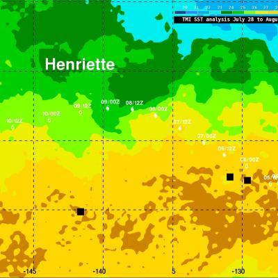
Hurricane Henriette, located a little over 1,770km (~1100 miles) east of Hawaii, was still intense with winds of 90kts (~103.5 mph) this morning. The National Hurricane Center (NHC) predicts that Henriette will weaken tomorrow as it moves over cooler waters and encounters west-southwesterly wind shear. Henriette's track was overlaid on a Sea Surface Temperature (SST) analysis that was derived from observations by the TRMM Microwave Imager (TMI) radiometer. Sea Surface temperatures have to be warmer than 26 °C for tropical cyclones to survive and this analysis indicates that hurricane Henriette

Hurricane Henriette

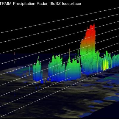
The TRMM satellite flew over the eastern Pacific Ocean on August 6, 2013 0233 UTC (~5:33 PM local time) collecting data for the low sun angle views of hurricane Henriette shown here. The Visible/Infrared image on the left shows the shadows cast by towering thunderstorms on the northeastern side of Henriette's forming eye wall. The image on the right shows the same image with rainfall derived from TRMM's Microwave Imager (TMI) and Precipitation Radar (PR) instruments overlaid. TRMM's PR instrument measured rain falling at the rate of over 55.46mm/hr (~2.2 inches) per hour in this towering