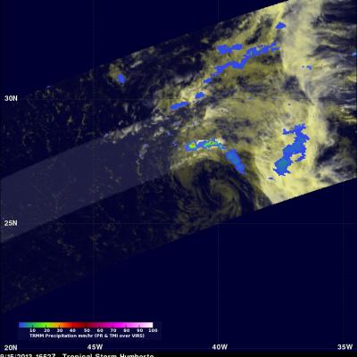
Tropical Storm Humberto
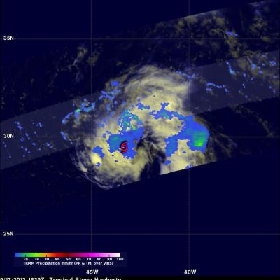
The TRMM satellite had another good daytime look at tropical storm Humberto on September 17, 2013 at 1639 UTC (12:39 PM EDT). Rainfall data from TRMM's Microwave Imager (TMI) and Precipitation Radar (PR) are shown overlaid on a visible/infrared image from TRMM's Visible and InfraRed Scanner (VIRS). The most intense echo found by TRMM PR was 48.3dBZ with rain falling at a rate of 56.5mm/hr (~2.22 inches) in an area north-northeast of Humberto's center. A red tropical storm symbol shows Humberto's approximate circulation center location.