Radar

Getting the Big Picture: Remote Sensing
Video Embed
JacobAdmin Thu, 11/12/2015

A brief animated look at the different types of remote sensing techniques that NASA uses to study the Earth. This video discusses why we need remote sensing to study the Earth, and the differences between active and passive remote sensing from satellites. It also gives examples of different types of data NASA satellites collect about the Earth, and some of the applications of that data.

This video is public domain and can be downloaded in high resolution here.


3D Views of February Snow Storms from GPM
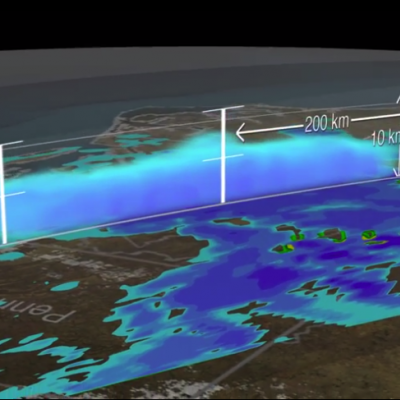
Download this video in HD formats from NASA Goddard's Scientific Visualization Studio The Global Precipitation Measurement (GPM) Core Observatory captured a 3-D image of a winter storm on Feb. 17, 2015, that left 6 to 12 inches of snow over much of Kentucky, southwestern West Virginia and northwestern North Carolina. The shades of blue indicate rates of snowfall, with more intense snowfall shown in darker blue. Intense rainfall is shown in red. The imagery shows great variation in precipitation types over the southeastern United States. Download this video in HD formats from NASA Goddard's...

TRMM PR Data Distribution Resumes

TRMM/PR data distribution resumes during the experimental operation period. The satellite has descended to an altitude of around 350 km on February 12, 2015, which is the original nominal altitude before 2001. Verification of the data quality concluded and JAXA and PPS started distribution of PR data around the 350 km altitude (orbit number from 98231) to the public. PR available data period around 350 km altitude will be about 40 days since February 12, 2015. Please see TRMM/PR data distribution for further information and for the data locations.
The HIWRAP Radar Development Team
JacobAdmin Wed, 08/13/2014
Image Caption
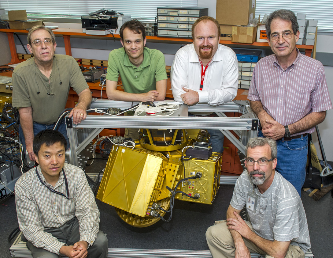
HIWRAP was developed by Goddard’s High Altitude Radar Group. The team includes (left to right): Lihua Li, Gerry McIntire, Michael Coon, Matthew McLinden, Gerry Heymsfield and Martin Perrine.

 McLinden led the work on the Cloud Radar System and Li led the work on EXRAD.

D3R Radar at IPHEx
D3R Radar at IPHEx
JacobAdmin Wed, 04/30/2014
Image Caption
Set up on a ranch in Rutherford County, N.C., NASA's Dual-frequency, Dual-polarization, Doppler Radar (D3R) is one of several ground radars measuring rain as it falls from clouds. It has the same two frequencies as are on the GPM Core Observatory Satellit
Radar at the GCPEx ACRE Site
JacobAdmin Thu, 02/16/2012
Image Caption
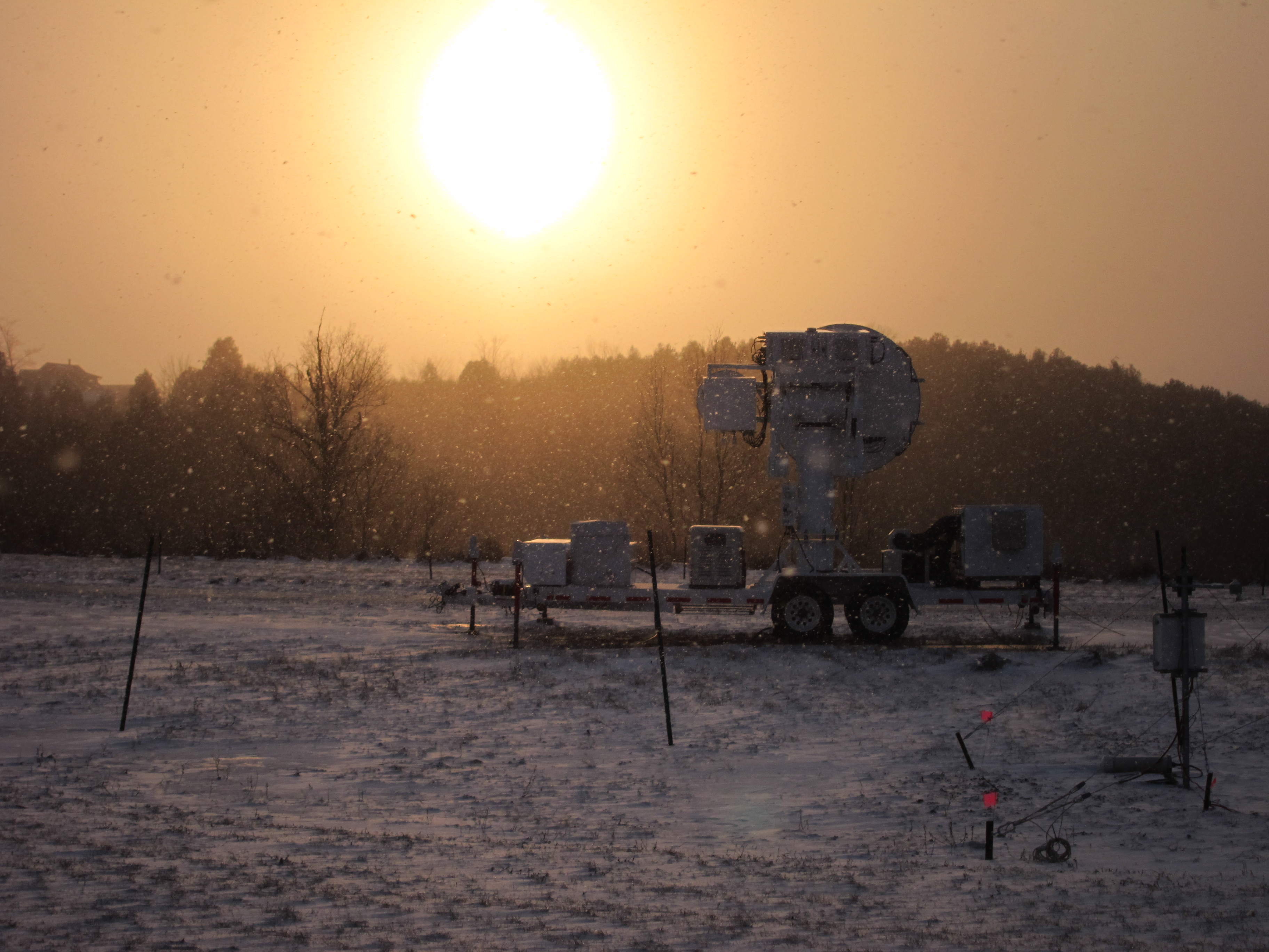
The radar at the ACRE site with blowing light snow (11 Feb 2012)
Document Description

The GPM Combined Radar-Radiometer Algorithm performs two basic functions: first, it provides, in principle, the most accurate, high resolution estimates of surface rainfall rate and precipitation vertical precipitation distributions that can be achieved from a spaceborne platform, and it is therefore valuable for applications where information regarding instantaneous storm structure are vital.

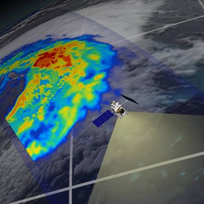
GPM flying over Earth with a data swath visualized.
The combined use of coincident active and passive microwave sensor data provides complementary information about the macro and microphysical processes of precipitating clouds which can be used to reduce uncertainties in combined radar/radiometer retrieval algorithms. In simple terms, the combined algorithms use the radiometer signal as a constraint on the attenuation seen by the radar. The combined retrievals produce a hydrometeor profile, particle size distribution and surface parameters for which brightness temperatures and reflectivities are consistent with the actual satellite measurements...
GPM flying over Earth with a data swath visualized.
The unique function of precipitation radars is to provide the three-dimensional structure of rainfall, obtaining high quality rainfall estimates over ocean and land. Radar measurements are typically less sensitive to the surface and provide a nearly direct relationship between radar reflectivities and the physical characteristics of the rain and snow in a cloud. Because of the complexities of operating radar in space, limited channels (frequencies) are designed for the instruments. TRMM has a single frequency radar at the Ku-band particularly sensitive to moderate rain rates. With a single...
GPM flying over Earth with a data swath visualized.
The Precipitation Radar was the first spaceborne instrument designed to provide three-dimensional maps of storm structure. These measurements yield invaluable information on the intensity and distribution of the rain, on the rain type, on the storm depth and on the height at which the snow melts into rain. The estimates of the heat released into the atmosphere at different heights based on these measurements can be used to improve models of the global atmospheric circulation. The Precipitation Radar has a horizontal resolution at the ground of about 3.1 miles (five kilometers) and a swath...