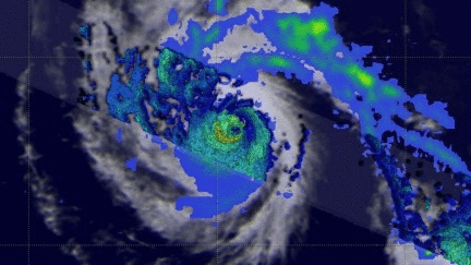
GPM Examines Hurricane Fernanda's Eye
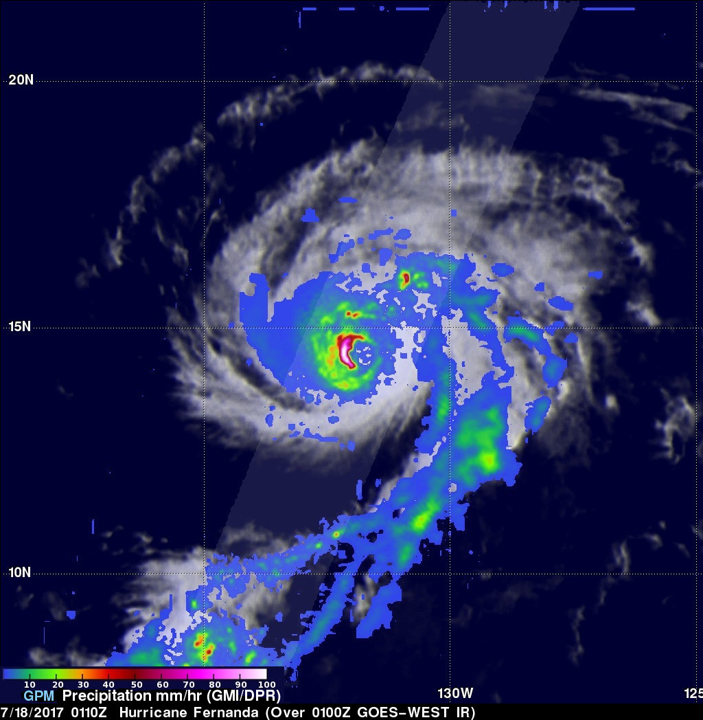
The GPM core observatory satellite had an excellent view of hurricane Fernanda on July 18, 2017 at 0110 UTC. Hurricane Fernanda had weakened from it's peak wind speed of 125 kts (143.75 mph) attained on July 15, 2017 but still had maximum sustained wind speeds of about 95 kts (109 mph). This meant that Fernanda was still a powerful category two hurricane on the Saffir-Simpson hurricane wind scale. GPM's Microwave Imager (GMI) and Dual-Frequency Precipitation Radar (DPR) data showed the location of intense rainfall circling around Fernanda's eye. Measurements by GPM's Radar (DPR Ku band) showed that rain was falling at a rate of over 208mm (8.2 inches) per hour in the western side of Fernanda's eye wall.
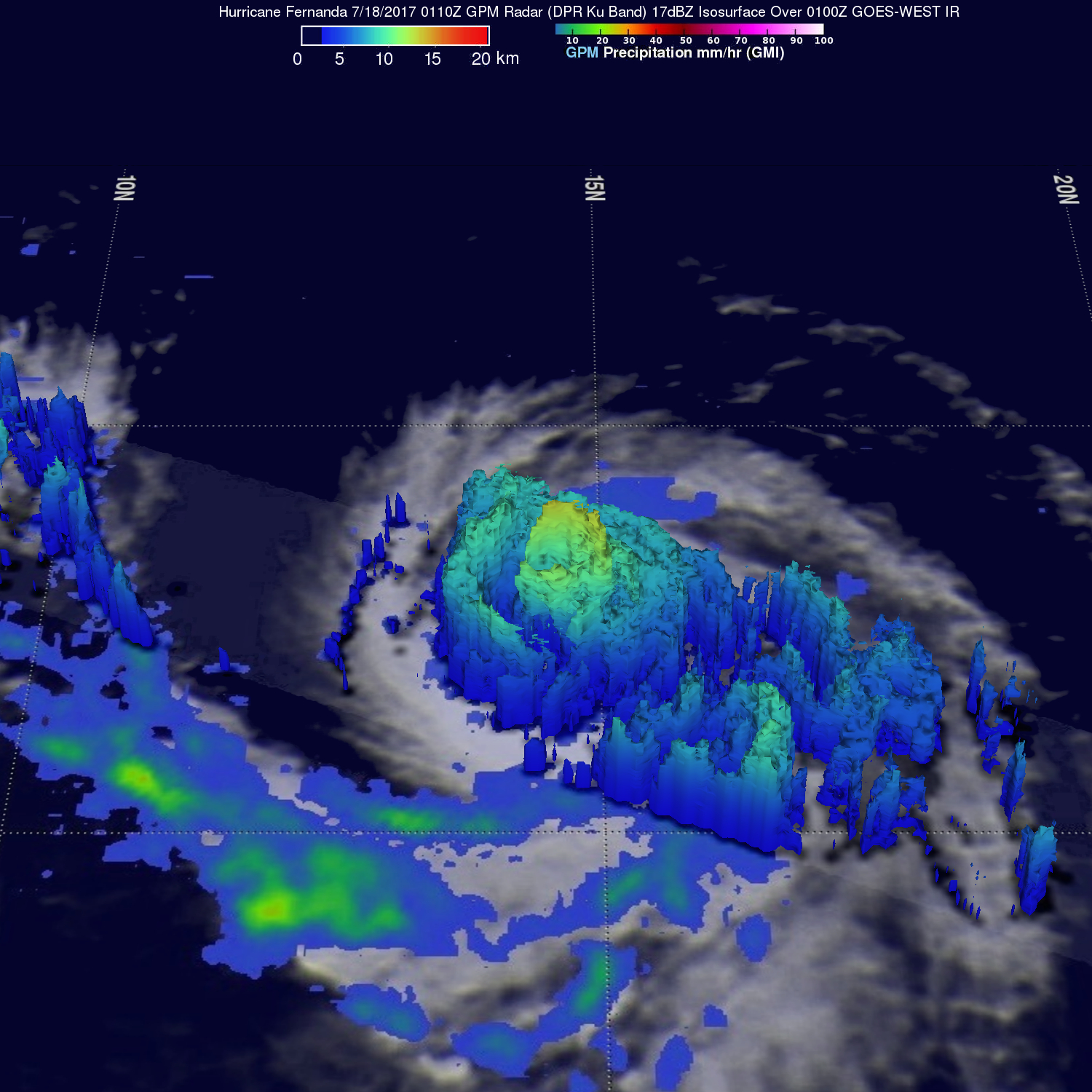
This 3-D examination using GPM's DPR (looking toward the west) showed that dry air moving into the southeastern side of the hurricane had caused partial erosion in that part of Fernanda's eye wall. Powerful storms in the unbroken western side of Fernanda's eye wall were found to still reach altitudes above 15 km (9.3 miles).
Hurricane Fernanda is predicted to gradually weaken as it heads toward the west-northwest. Fernanda is expected to have wind speeds of less than 30 knots (34.5 mph) as it approaches the Hawaiian Islands on about July 23, 2017.