GPM Satellite Looks At Hurricane Maria's Rainfall
Early this morning (after 6 AM local time) hurricane Maria made landfall near Yabucoa, Puerto Rico as a strong category four hurricane. Maximum sustained winds in the hurricane were reported to be 149.5 mph (130 kts) as Maria moved toward San Juan, Puerto Rico.
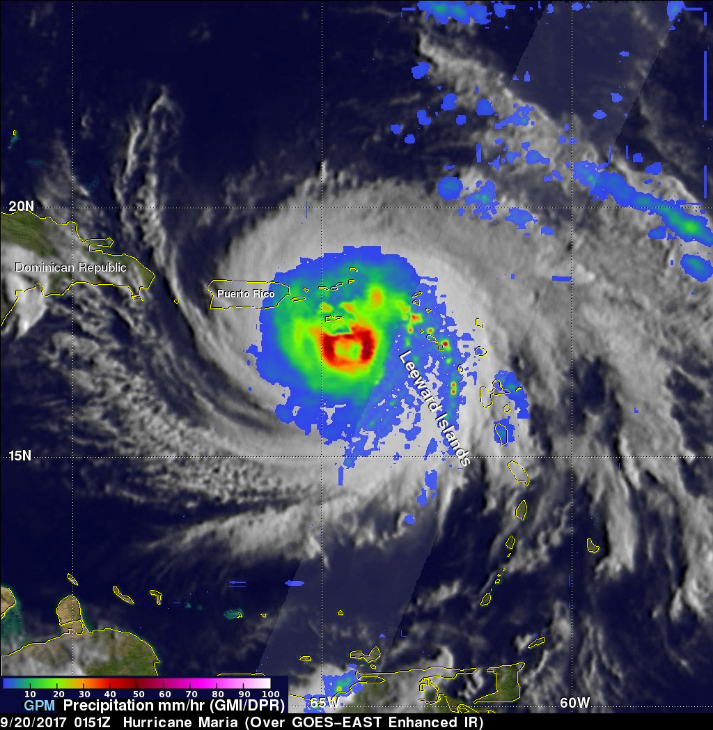
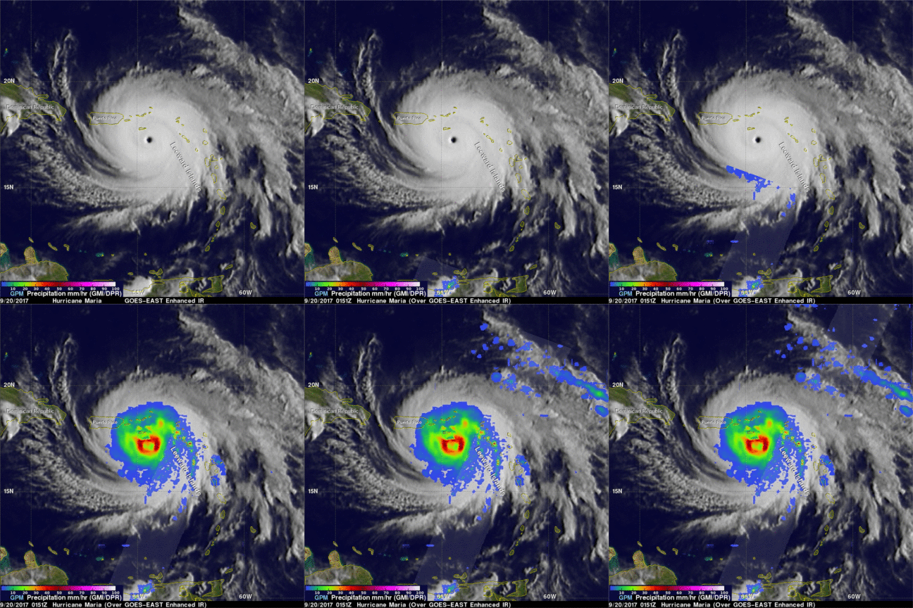
Powerful convective storms within the hurricane were also dropping heavy rainfall. The GPM core observatory satellite collected data as it passed above hurricane Maria earlier on September 19, 2017 at 9:51 PM AST (September 20, 2017 0151 UTC). This rainfall analysis was derived from GPM's Microwave Imager (GMI) and Dual-Frequency Precipitation Radar (DPR) data received by the satellite. GPM's radar (DPR Ku band) found that some extreme storms within the hurricane's feeder bands were dropping rain at a rate of greater than 5.4 inches (137 mm) per hour. Maria's heavy rainfall and storm surge is expected to produce flooding in Puerto Rico.


