
GPM Sees Carlos Moving Past Reunion Island
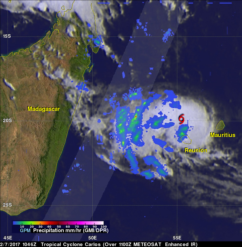
The GPM core observatory satellite flew above tropical cyclone Carlos on February 7, 2017 at 1056 UTC. Carlos was moving past Reunion Island with maximum sustained winds estimated at 45 kts (51.8 mph). GPM's Microwave Imager (GMI) and Dual-Frequency Precipitation Radar (DPR) data show that rain bands west of Carlos' center were producing heavy rainfall. GPM's DPR swath is shown in a lighter shade. DPR measured a few downpours in the bands west of the Carlos' center of circulation dropping rain at a rate of over 120 mm (4.7 inches) per hour. GPM's radar (DPR Ku Band) found that a few storm tops were reaching heights of 11 km (8.8 miles).
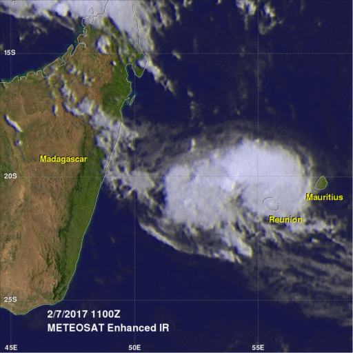
Over the next four days tropical cyclone Carlos is predicted to follow a track between southern Madagascar and Reunion. Then Carlos is predicted to re-curve toward the southeast. Vertical wind shear is expected to decrease during the next couple days so Carlos may intensify for a while. After a couple days vertical wind shear and cooler sea surface temperatures are expected to cause Carlos to gradually weaken.