GPM Sees New Tropical Storm Harvey
The National Hurricane Center (NHC) upgraded a tropical disturbance that they were monitoring east of the Lesser Antilles to Tropical storm Harvey on August 17, 2017 at 5:00 PM EDT (2100 UTC).
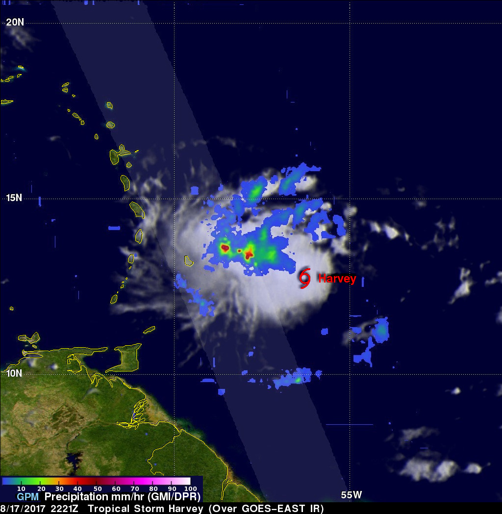
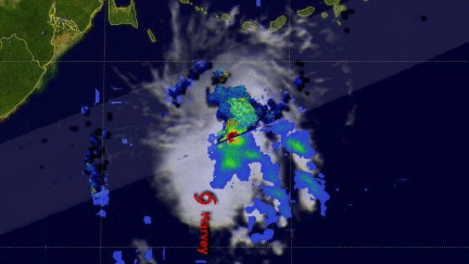
The GPM core observatory satellite flew over newly designated tropical storm Harvey on August 17, 2017 at 6:21 PM EDT (2221 UTC). Easterly vertical wind shear was causing the strongest convection to be pushed to the west of the tropical storm's center of circulation. GPM's Microwave Imager and Dual-Frequency Precipitation Radar (DPR) found that some of these strong convective storms were dropping very heavy rainfall. DPR measured precipitation in one storm falling at a rate of almost 5.8 inches (147 mm) per hour.
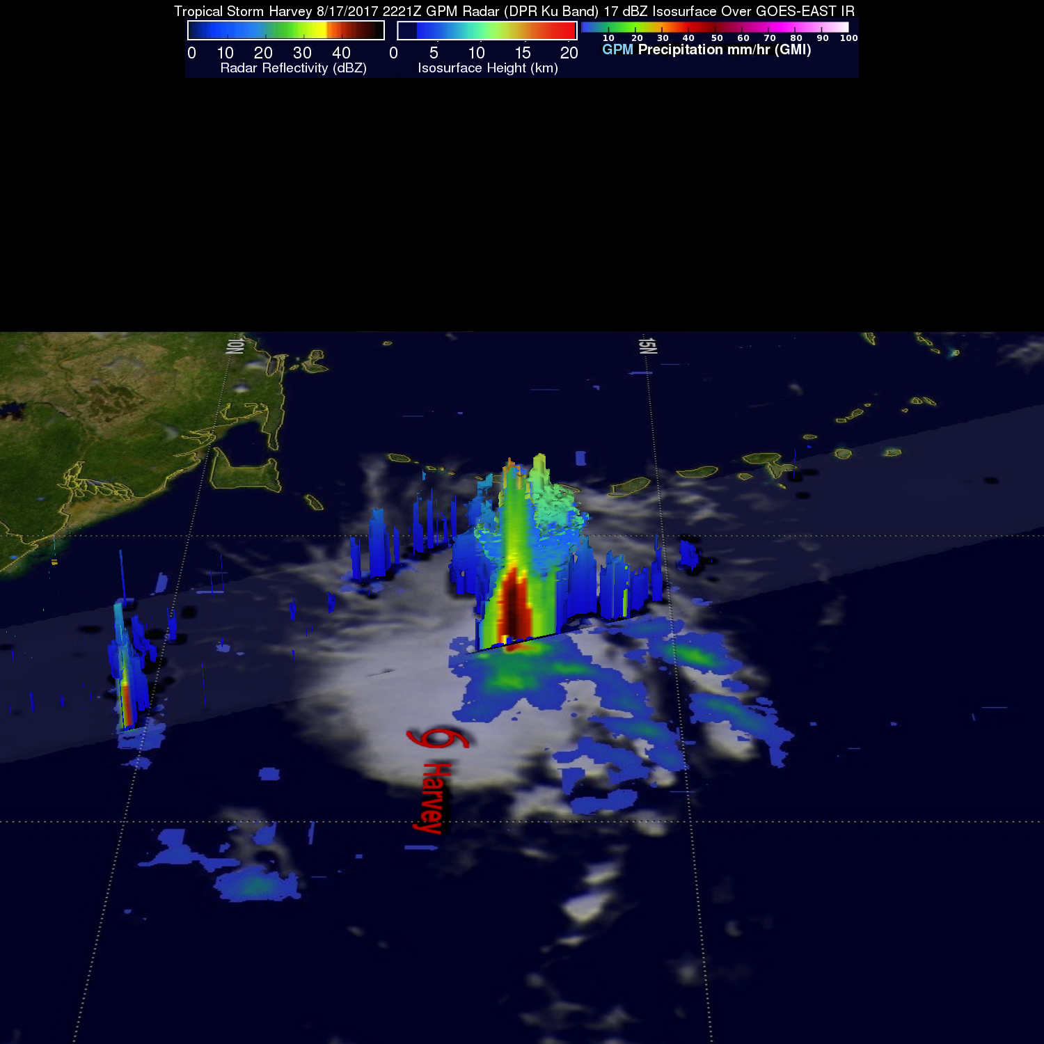
A 3-D view of the rainfall structure within convective storms west of Harvey's center of circulation was made possible using GPM's radar (DPR Ku Band). This 3-D cross-section showed that powerful storms were reaching altitudes above 9.8 miles (15.8 km).
The National Hurricane Center (NHC) predicts that tropical storm Harvey will slowly intensify for the next few days despite the vertical wind shear that is dampening the tropical storm's intensification. After that the environment is expected to be favorable for Harvey to intensify to strong tropical storm intensity while moving toward the western Caribbean.