GPM Sees Powerful Convective Storms In The Timor Sea
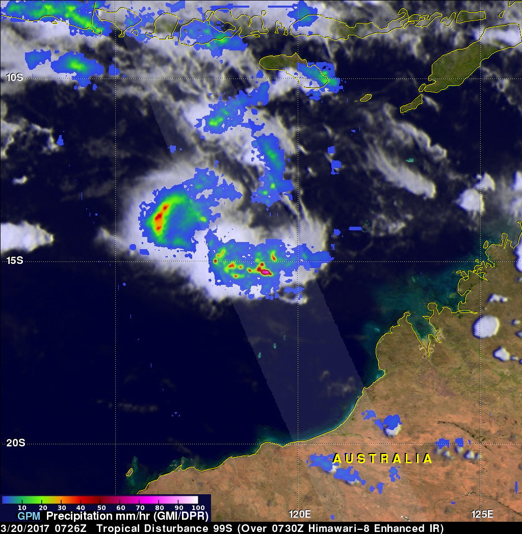
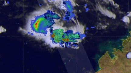
The GPM core observatory satellite passed above some energetic storms in the Timor Sea north of Australia on March 20, 2017 at 0726 UTC. These powerful storms were being invigorated by very warm sea surface temperatures and low vertical wind shear aloft. Balmy water in the Timor Sea was reaching temperatures of 30 to 32 degrees Celcius (86 to 89.6 Fahrenheit). Data collected by GPM's Microwave Imager (GMI) and Dual-Frequency Precipitation Radar (DPR) instruments showed that these storms contained some very heavy downpours. GPM's DPR found rain falling at a rate of over 238 mm (9.4 inches) per hour in one area of convective storms.
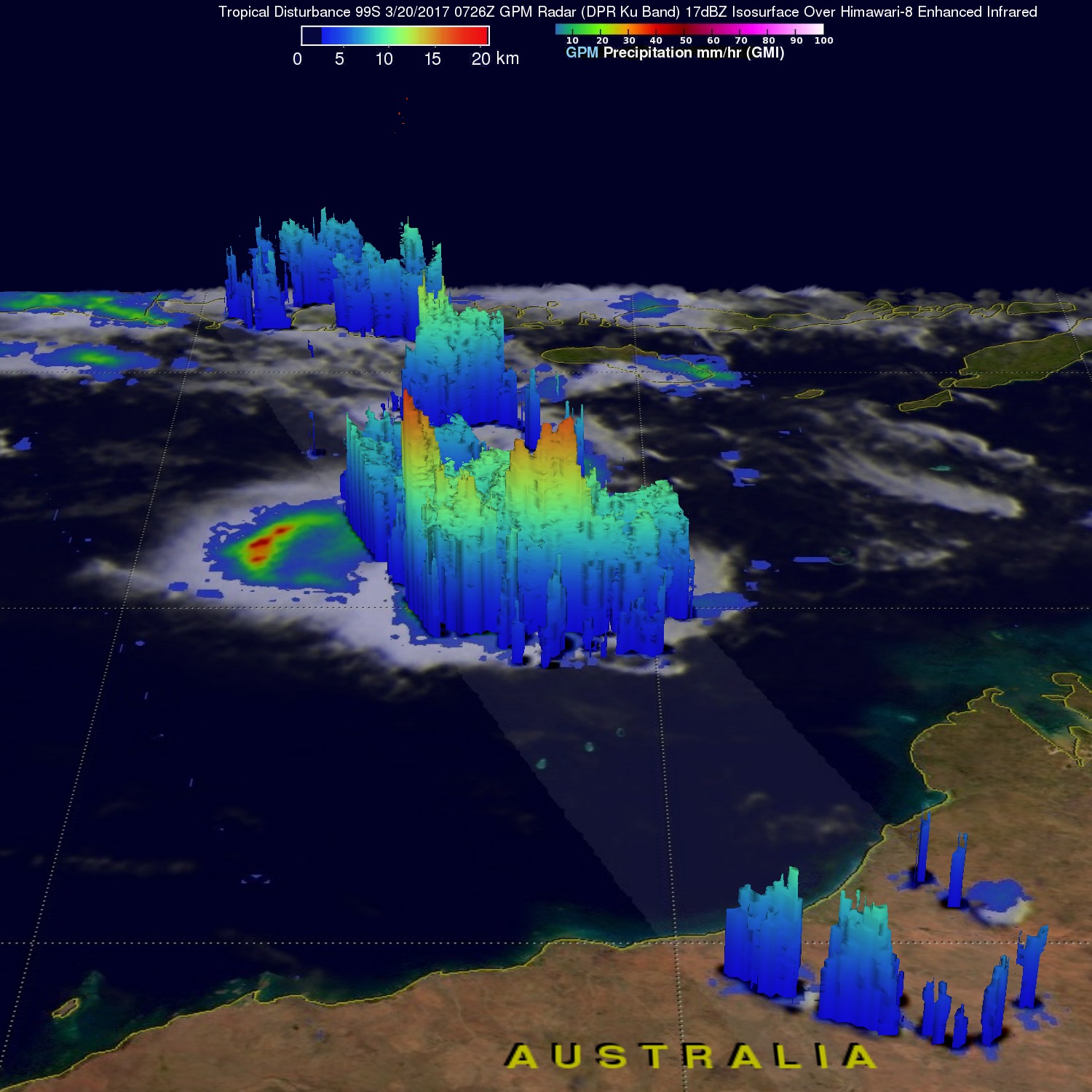
GPM's Radar (DPR Ku Band) found that some of the violent storms in the Timor Sea were very tall with some storm tops reaching altitudes above 18 km (11.2 miles). GPM's DPR revealed that intense rain showers in some of these storms were returning radar reflectivity values greater than 88 dBZ to the satellite.
The Joint Typhoon Warning Center (JTWC) predicts that this stormy area will intensify while heading to Australia's northwest coast. There is a low chance that these convective storms will develop into at tropical cyclone.