GPM Sees Tropical Depression Nine (td9) Forming
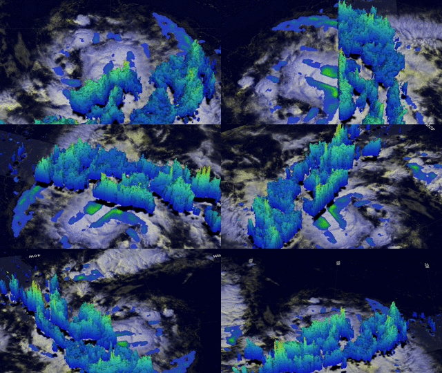
Tropical cyclone development has been relatively slow in the Atlantic Ocean in 2015 with tropical depression Nine (TD9) forming today in the central tropical Atlantic. GPM's Microwave Imager (GMI) and Dual-Frequency Precipitation Radar (DPR) instruments collected data today at 1016 UTC (6:16 AM EDT). Data from that pass were used to show the three dimensional (3-D) extent of TD9's rainfall. GPM's 3-D DPR (Ku Band) found that the tallest convective thunderstorms within TD9 were reaching heights of about 14.9 km (9.2 miles) in a feeder band southeast of TD9's center of circulation. The most intense rain was measured by GPM falling at a rate of 58.2 mm (2.3 inches) per hour.
Tropical Depression Nine is not expected to intensify very much due to a forecast of unfavorable vertical wind shear and dry air moving over the tropical cyclone..


