GPM Spots Hurricane Pali Forming
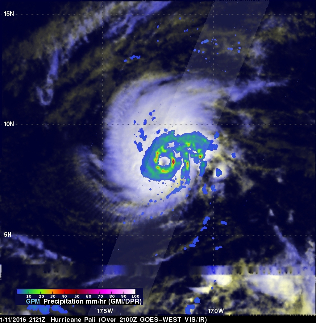
Tropical storm Pali intensified late yesterday to become the earliest hurricane ever recorded in the Central Pacific Ocean. Warm ocean waters from El Nino supplied the extra energy needed for Pali to develop and prosper so early in the year. The GPM core observatory satellite flew over Pali on January 11, 2015 at 2121Z. GPM's Dual-Frequency Precipitation Radar (DPR) data sliced through Pali clearly showing that an eye had formed. GPM's DPR measured rain falling at a rate of 84.5 mm (3.3 inches) per hour on the eastern side of Pali's forming eye.
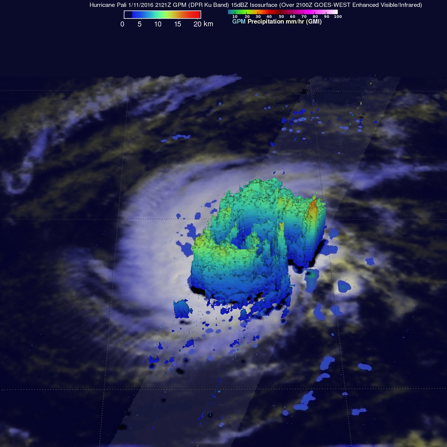
GPM's radar (DPR Ku Band) peered through Pali's clouds and discovered that powerful convective storms south of the eye were reaching heights of about 12.5 km (7.8 miles). GPM measured the tallest storm top heights of 16.6 km (10.3 miles) in a strong feeder band wrapping around Pali's eastern side.
Pali is predicted to maintain hurricane intensity until January 13, 2016 and then weaken to tropical storm intensity while moving toward the southwest.


