GPM Views Weakening Hurricane Maria
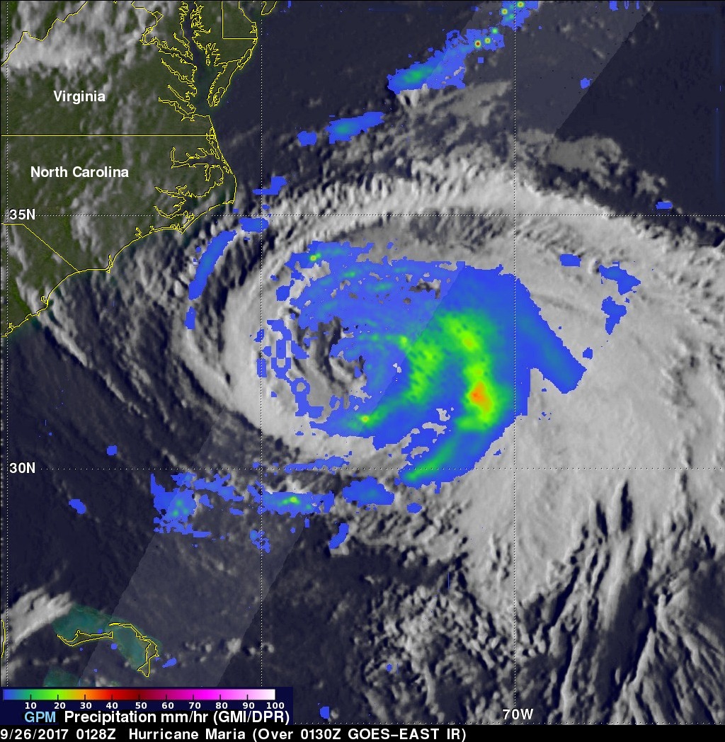
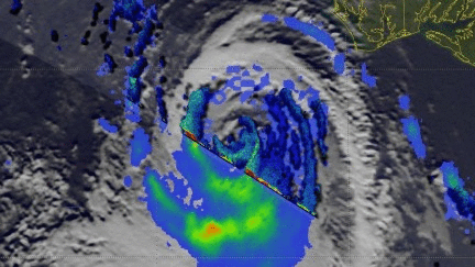
Hurricane Maria has significantly weakened from the powerful category four hurricane that devastated Puerto Rico. The GPM core observatory satellite flew over Maria on September 25, 2017 at 9:28 PM EDT (September 26, 2017 at 0128 UTC). This informative GPM pass showed that the western side of the hurricane was drier and contained much less precipitation than the eastern side. GPM's Dual-Frequency Precipitation Radar (DPR) scanned directly through the center of Maria's eye and showed that there were only light to moderate rain showers around the hurricane's center. DPR found a few convective storms within Maria dropping rain at a rate of less than 2 inches (51 mm) per hour.
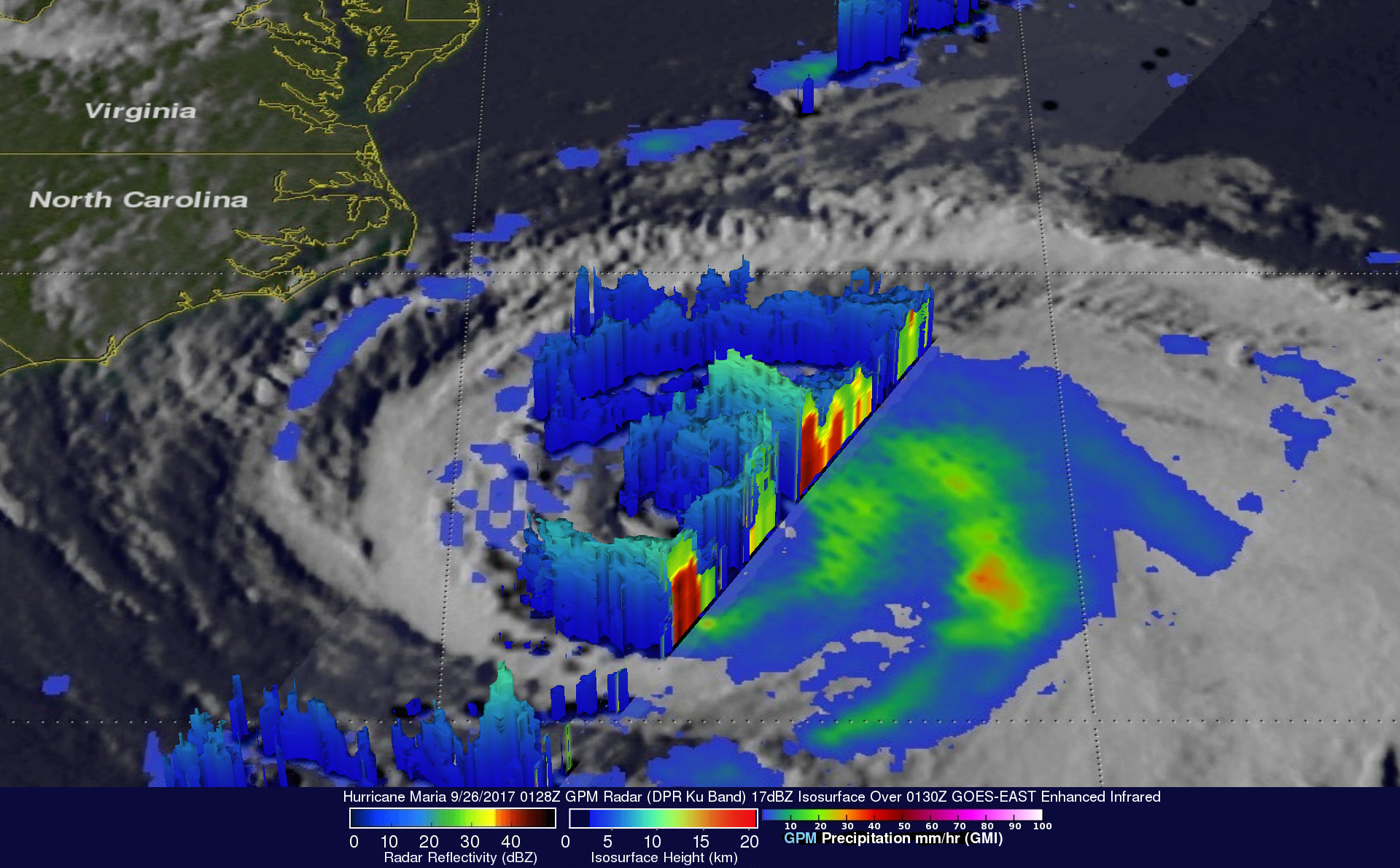
This close examination of Maria's 3-D rainfall structure was made possible by using GPM's radar data (DPR Ku Band). This 3-D cross-section view shows the locations of downpours within bands of convective storms east of the hurricanes center. A few of these storms were revealed to be returning strong echoes to GPM's radar.
The National Hurricane Center (NHC) predicts that cool ocean water and moderate shear will cause Maria to weaken to a tropical storm in less than 24 hours. Maria is predicted to move northward, paralleling the United State's east coast for a couple days. Storm surge flooding and rip currents are expected in that area. Maria is then forecast to turn toward the northeast and move away from the coast.