Jose Continues to Meander off the East Coast
Jose has been a named storm for nearly two weeks now as it continues to slowly move northward off the US East Coast east of the Outer Banks of North Carolina. At one time, Jose was a powerful category 4 border line category 5 storm with maximum sustained winds reported at 155 mph by the National Hurricane Center back on the 9th of September as it was approaching the northern Leeward Islands. Jose passed northeast of the Leeward Islands as a category 4 storm on a northwest track and then began to weaken due to the effects of northerly wind shear. Jose then made a counterclockwise loop about midway between the southern Bahamas and Bermuda. During this time, Jose continued to weaken and by the morning of September 14th was down to tropical storm intensity. Remaining over warm water allowed Jose to strengthen back into a hurricane on the 15th as wind shear across the storm diminished. At this time, Jose was still only midway between the central Bahamas and Bermuda, having just completed its loop, and moving to the northwest. On the 16th, Jose turned northward as it moved around the western edge of a ridge of high pressure near Bermuda and began to parallel the US East Coast well away from shore.
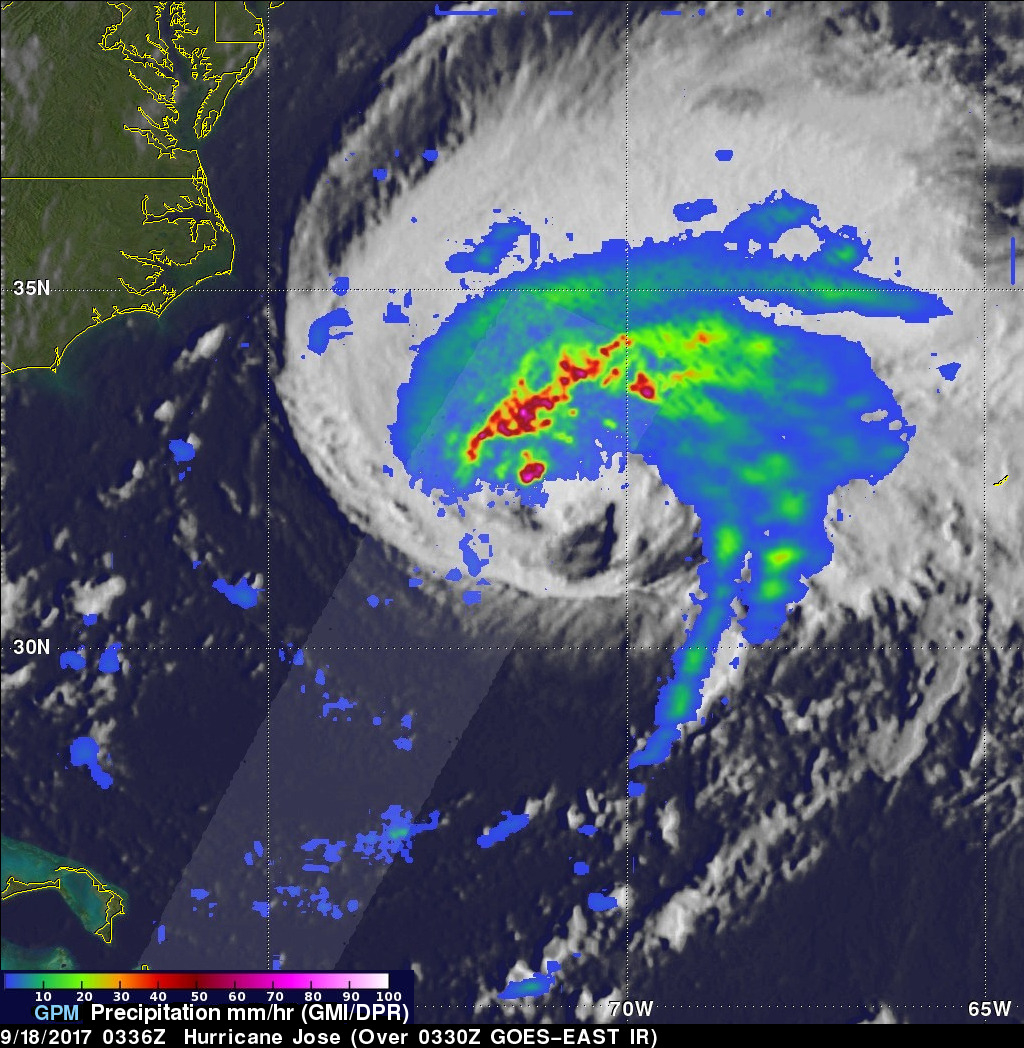
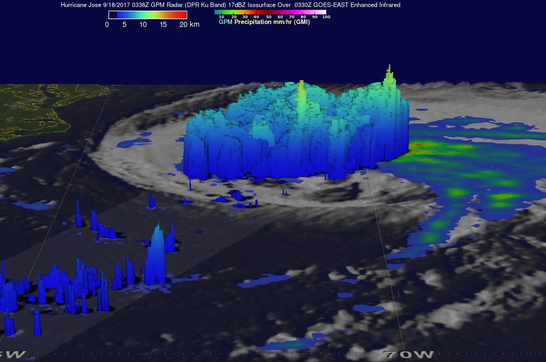
GPM captured this image of Jose overnight at 3:36 UTC 18 September (11:36 pm EST 17 September) as the storm was moving due north at 9 mph well off shore from the coast of North Carolina. The image shows rain rates derived from the GPM GMI (outer swath) and DPR (inner swath) overlaid on enhanced IR data from the GOES-East satellite. Although Jose was still a hurricane with maximum sustained winds reported at near 90 mph by Hurricane Hunters, GPM reveals that Jose is rather asymmetric with most of the rain located north of the center as a result of strong southwesterly wind shear. Within this convective band there are still areas of very heavy rain on the order of 75 mm/hr (~3 inches per hour, shown in magenta).
Although the center of Jose is not forecast to make landfall, the storm is bringing dangerous surf and rip currents to the US East Coast, and tropical storm watches and warnings have been issued by the National Hurricane Center from the Jersey shore up the coast, including Long Island, and through Cape Cod where winds are expected to reach tropical storm strength. As Jose continues northward, it should continue to lose strength as it moves over cooler waters north of the Gulf Stream and should begin to lose some of its tropical characteristics. However, by the end of the week, what's left of Jose could once again be left meandering somewhere southeast of the New England Coast as steering currents are forecast to weaken.


