Powerful Northeastern Storm Examined By GPM Satellite
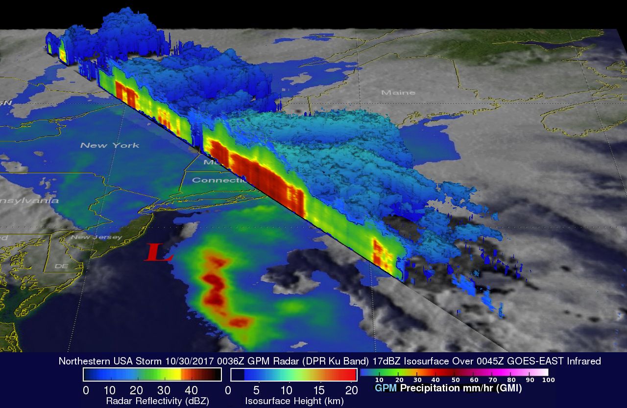
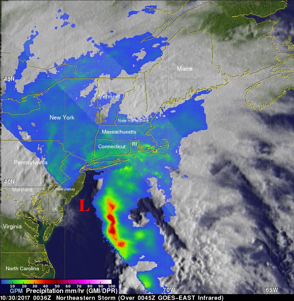
The GPM satellite showed the distribution and intensity of precipitation on the eastern side of the low pressure center. The approximate location of the storm's center at the time of the GPM pass is shown with a large red "L". GPM's Microwave Imager (GMI) showed that a large area of intense rain was located in the Atlantic east of the low's center. GMI estimated that rain in that area was falling at rates of greater than 2 inches (51 mm) per hour. GPM's Precipitation Radar (DPR) instrument showed that the low was dropping rain at a rate of over 4.92 inches (125 mm) per hour in a small area along the Massachusetts coast. GPM's radar data also showed the height of the freezing level in the storm. The average freezing level was indicated by DPR data at 2.1 miles (3.4 km). Those data indicated that the freezing level sloped from a little above .5 miles (.9 km) in southern Quebec to higher than 2.9 miles (4.7 km) in the Atlantic Ocean well east of the coast.

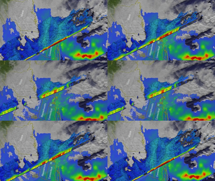
The 3-D slices shown here were produced using GPM's radar data (DPR Ku band). These probes by GPM's radar showed the location and structure of precipitation within the low pressure system. The highest storm tops in the system were revealed by DPR to reach heights of about 5.6 miles (9 km).
Gusts of wind greater that 70 mph (61 kts) were reported with the storm. The powerful storm led to river and flash flooding. Over a million households reportedly lost electrical power in New England.


