Powerful Tropical Cyclone Irving Examined With GPM
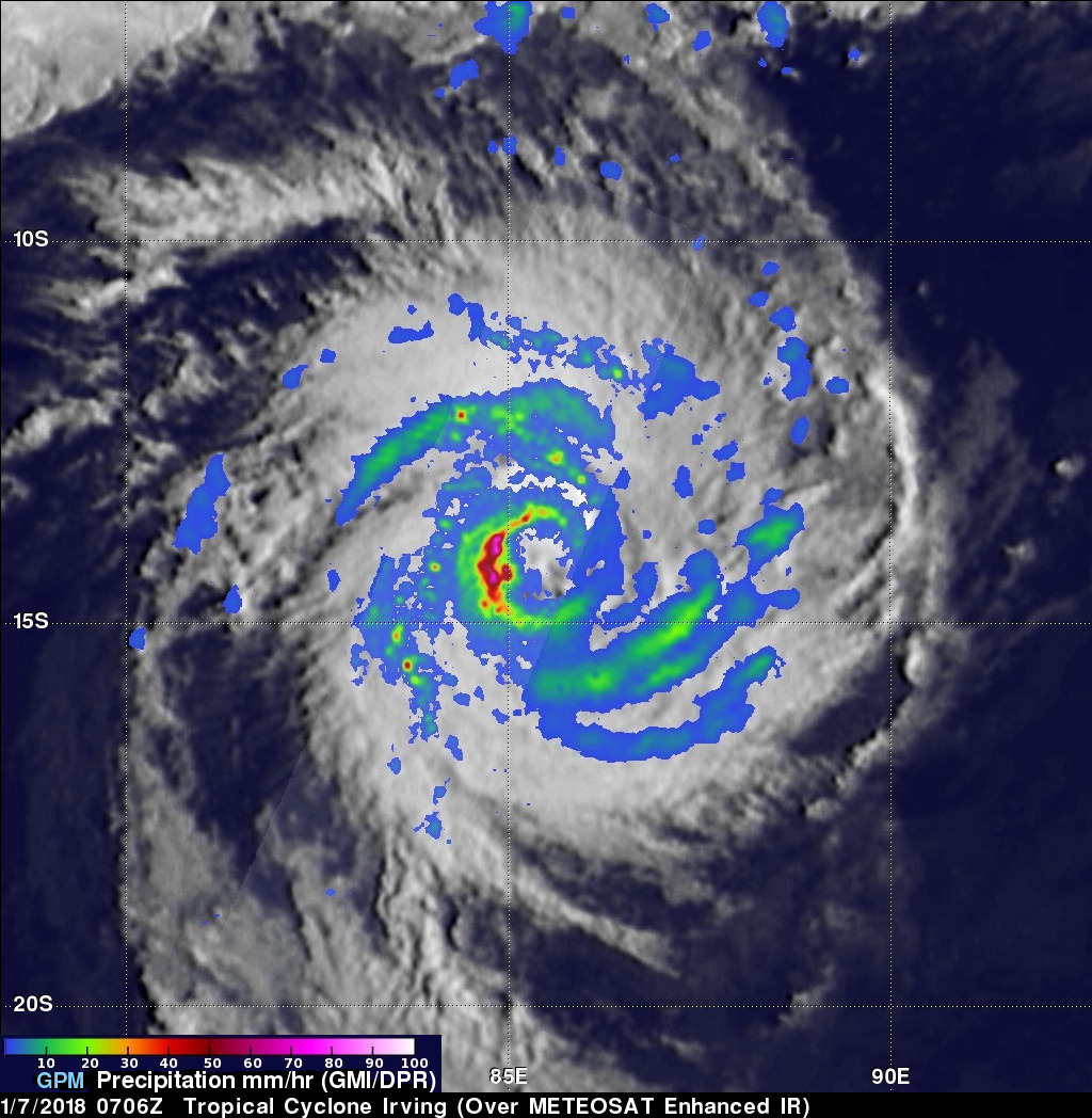
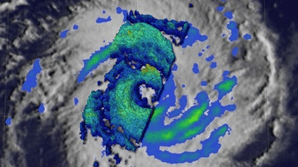
Tropical cyclone Irving formed in the South Indian Ocean on January 6, 2018. Irving posed no threat to land because it orgininated over the open ocean far to the west of Australia. GPM's core observatory satellite had an excellent view of Irving's eye on January 2018 at 0706Z. The well defined rainfall patterns within Irving were clearly shown by GPM's Microwave Imager (GMI) and Dual Frequency Precipitation Radar (DPR) data. Very heavy rainfall was shown in the western side of Irving's large eye wall. GPM's Radar (DPR Ku Band) found rain in that side of the tropical cyclone falling at a rate of over 93 mm (3.7 inches) per hour.
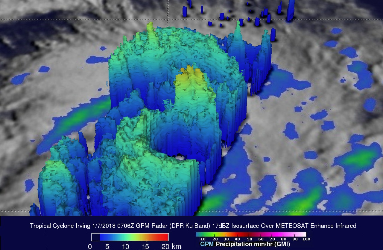
Tropical cyclone Irving's 3-D precipitation structure was examined by GPM's radar (DPR Ku Band). GPM's radar slice through the center of tropical cyclone Irving showed that the powerful storms in the western side of Irving's eye wall were reaching altitudes of about 17 km (10.5 miles).
The Joint Typhoon Warning Center (JTWC) predicts that Irving will weaken while heading toward the southwest. Irving is expected to pass well to the east of La Reunion Island then recurve to the southeast and weaken to tropical storm intensity. Tropical cyclone irving is expected to transition to an extra-tropical low within three days.