Strengthening Tropical Storm Ophelia Observed By GPM
On Monday October 9, 2017 at 1100 AM AST (1500 UTC) tropical depression seventeen (TD17) was upgraded to tropical storm Ophelia. The tropical storm is located over the open waters of the the eastern Atlantic southwest of the Azores.
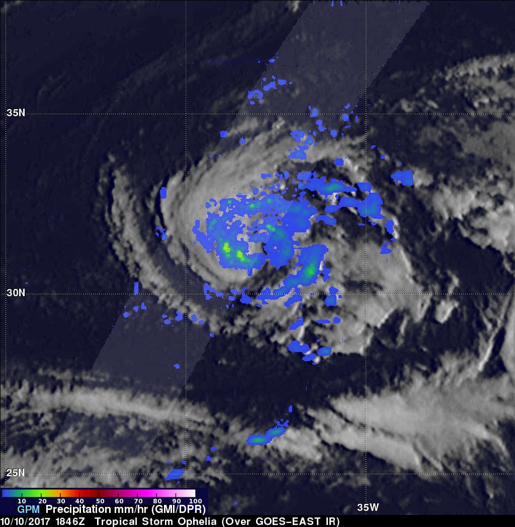
The GPM core observatory satellite had a good view of tropical storm Ophelia on October 10, 2017 at 2:46 PM AST (1846 UTC). GPM's Microwave Imager (GMI) and Dual-Frequency Precipitation Radar (DPR) revealed that the storm was organized but most of the rainfall in the storm was only of light to moderate intensity. The area covered by GPM's 151.9 mile wide (245 km) Ku band radar swath is shown in lighter shades. GPM's radar (DPR Ku Band) showed that rain was falling at a rate of almost 3.2 inches (81 mm) per hour in the strongest band of showers located on the southern side of the tropical storm.
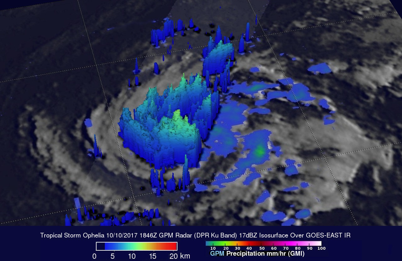
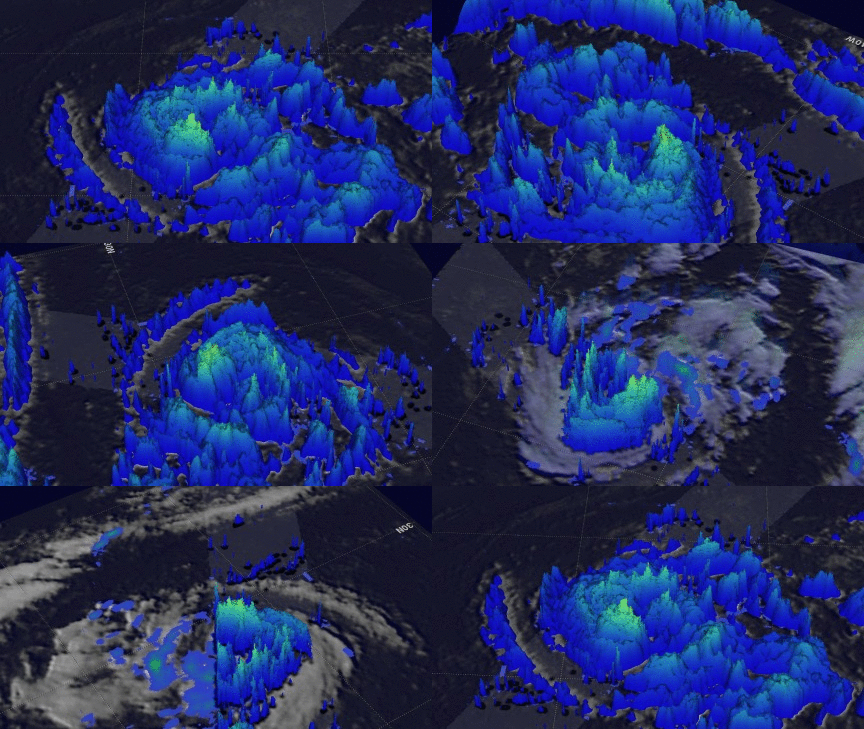
GPM's radar data (DPR Ku Band) were used in this 3-D view to show the precipitation structure of storm tops within tropical storm Ophelia. Strong convective storms south of the tropical cyclone's center of circulation were reaching heights of almost 7.44 miles (12 km).
Ophelia has been strengthening and is predicted by the National Hurricane Center (NHC) to become a hurricane late today. Ophelia is expected to move into the northeastern Atlantic and become extra-tropical by Sunday October 15, 2017. The NHC forecasts that Ophelia will have moved to a location southwest of Ireland on Monday October 16, 2017.


