Tropical Cyclone Caleb's Rainfall Revealed By GPM
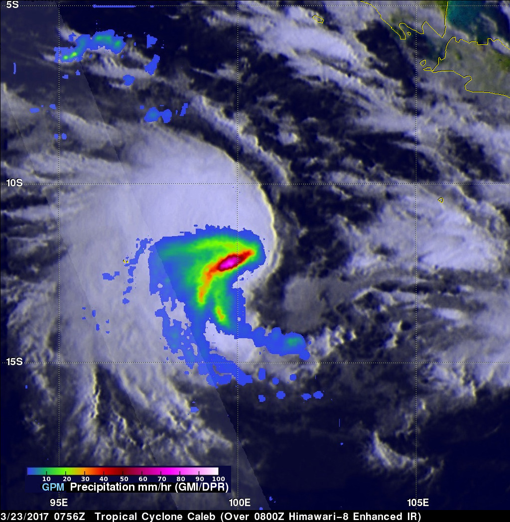
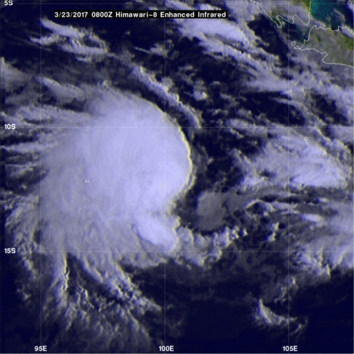
Tropical cyclone Caleb formed today in the South Indian Ocean southwest of the Indonesian Island of Sumatra. The GPM core observatory satellite had a fairly good view of the the newly formed tropical cyclone when it flew over on March 23, 2017 at 0756 UTC. The satellite's Microwave Imager (GMI) revealed the locations of rainfall within the tropical cyclone. Rainfall measurements derived from the GMI showed that convective storms's were dropping rain at a rate of almost 84 mm (3.3 inches) per hour on Caleb's eastern side.
The Joint Typhoon Warning Center (JTWC) predicts that tropical cyclone Caleb won't intensify much due to persistent upper level wind shear. Caleb is initially predicted to move toward the south-southeast over the open waters of the Indian Ocean.