Tropical Cyclone's Remnants Examined By GPM
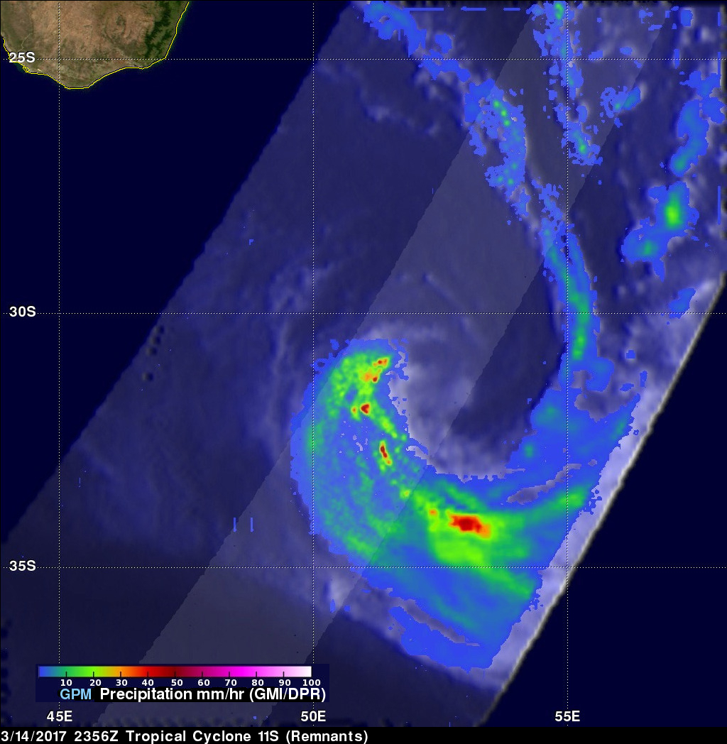
The GPM core observatory satellite flew above the remnants of tropical cyclone 11S on March 14, 2017 at 2356 UTC. The remnants were located south-southeast of Madagasgar and were rapidly transforming into an extra-tropical low. GPM showed the locations of intense rainfall still being produced by the low. GPM's Dual-Frequency Precipitation Radar (DPR) data showed that rain was falling at a rate of over 205 mm (8 inches) in a few storms.
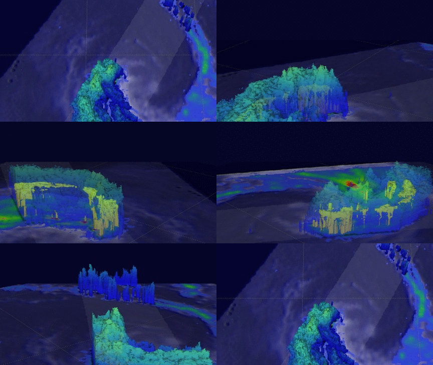
GPM's radar (DPR Ku Band) found that some storm tops in the remnants were reaching heights above 13 km (8 miles). GPM satellite radar (DPR Ku Band) data were used to examine heavy precipitation in the area. 40dBZ echoes (shown in yellow) revealed the locations of intense precipitation that was moving around the low's western side.


