Tropical Depression MA-ON Evaluated With GPM Data
Tropical cyclones have been forming frequently in the Western Pacific Ocean since July 2016. 36 named tropical cyclones have formed in the Western Pacific in less than 5 months with 14 of them becoming typhoons.
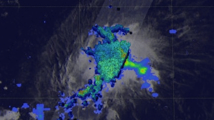
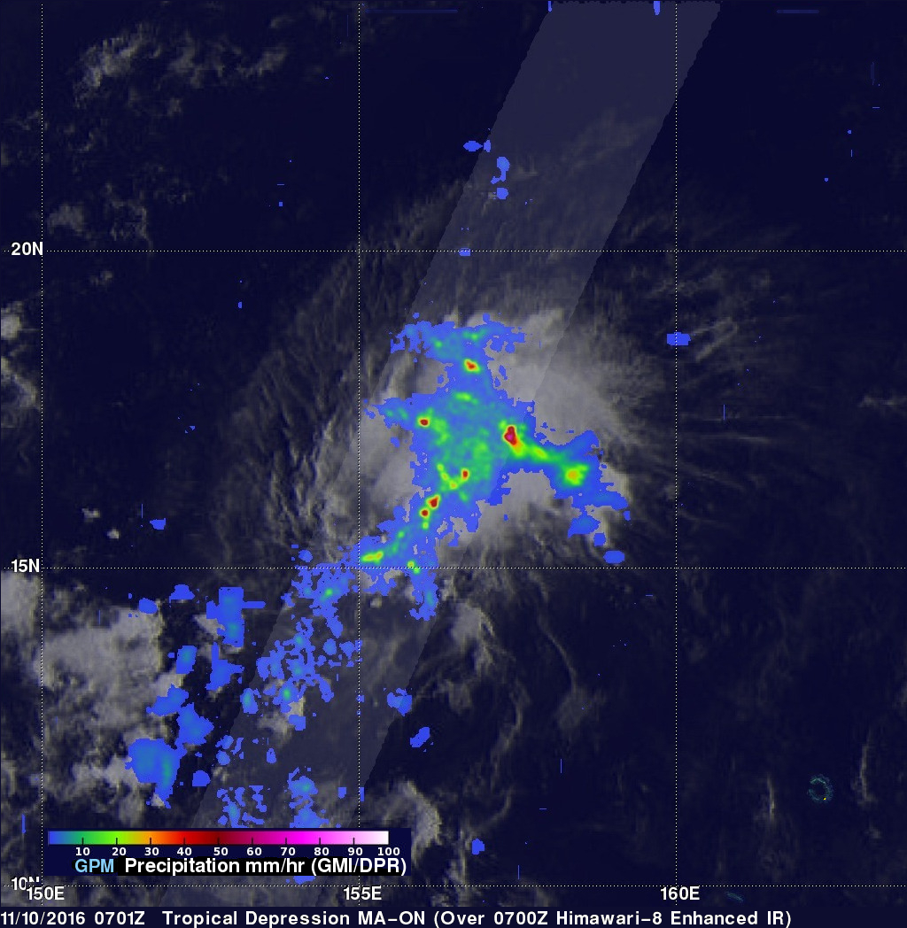
Tropical Depression MA-ON Formed on November 10, 2016 northeast of Guam. MA-ON had maximum sustained winds estimated at 30 kts (34.5 mph) when the GPM core observatory satellite flew over on November 10, 2016 at 0701Z. GPM's Microwave Imager (GMI) and Dual-Frequency Precipitation Radar (DPR) instruments showed that the tropical depression contained some very heavy showers. Strong bands of convective storms were shown spiraling into MA-ON. GPM's radar (Ku Band) found rain falling at a rate of over 198 mm (7.8 inches) per hour in an area east of the tropical depression's center.
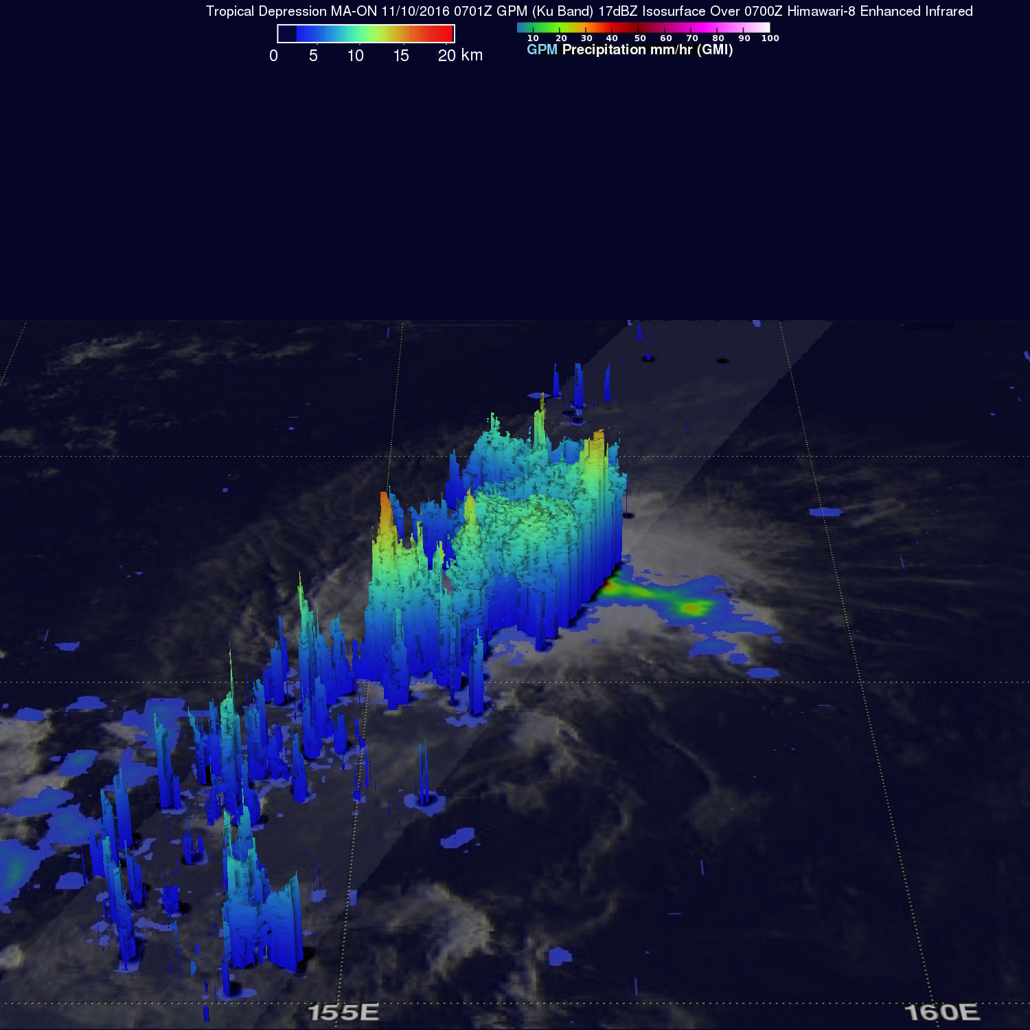
The GPM satellite's 3-D radar data were used to evaluate the structure of rainfall within tropical depression MA-ON. Parameters such as storm top heights, vertical profiles of rainfall, and freezing levels are among the values that are measured. Storm tops of many convective storms were shown by GPM's Ku Band radar to reach heights above 16 km (9.9 miles).
The Joint Typhoon Warning Center (JTWC) predicts that MA-ON will strengthen to tropical storm intensity by November 11, 2016. MA-ON is predicted to move over the open waters of the Pacific toward the northwest.