Tropical Storm Ampil's Rainfall Evaluated With GPM Satellite Data
Tropical storm AMPIL was moving toward the northwest with winds of about 50 kts (57.5 mph) when the GPM core observatory satellite flew above on July 20, 2018 at 0656 UTC. Data received by the satellite's Microwave Imager (GMI) and Dual-Frequency Precipitation Radar (DPR) instruments were used in this analysis of AMPIL's precipitation. GMI and DPR showed that the northern side of the tropical storm was nearly dry and that rain bands in that area were producing only light to moderate rainfall. Moderate to heavy precipitation was found by GPM in a rain band wrapping around the southern side of the tropical cyclone's center of circulation. The most intense downpours were shown by GPM to be occurring in storms well to the north of AMPIL's center. Precipitation in that area was measured by GPM's radar (DPR Ku Band) falling at a rate of over 139 mm (5.5 inches) per hour.

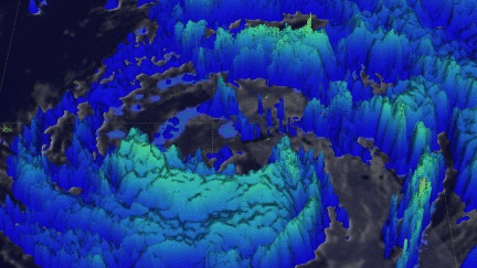
This 3-D image of AMPIL's precipitation was made possible by using data collected by GPM's radar (DPR Ku Band). A few of the most intense storms north of AMPIL's center of circulation were found by DPR to reach heights above 14 km (8.7 miles).
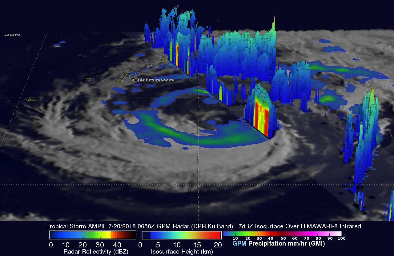
A 3-D animation showing cloud top heights within tropical storm AMPIL was constructed with GPM's radar data (DPR Ku Band). DPR's Ku Band instrument provided three dimensional measurements of precipitation within a 152 mile (245 km) wide swath east of AMPIL's center. Cloud top heights over a larger area were made possible by blending measurements from GPM's radar (DPR Ku band) with cloud top heights based on the HIMAWARI-8 satellite's infrared temperatures.
The Joint Typhoon Warning Center (JTWC) predicts that the tropical storm will intensify over the next few days as AMPIL moves over the East China Sea toward China. Peak winds are predicted to reach 60 kts (69 mph).