Tropical Storm Carlos Forms
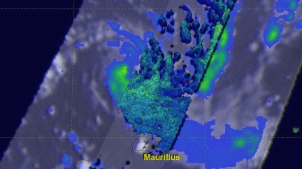
Tropical storm Carlos formed in the Southwest Indian Ocean north of the French Islands of Reunion and Mauritius on February 4, 2017 (UTC). This ended an unusual drought of tropical cyclone formation in that part of the Indian Ocean that began in July 2016. NASA's GPM core observatory satellite flew above tropical storm Carlos on February 5, 2017 at 1056 UTC when Carlos had maximum sustained winds of about 45 kts (51.8 mph).
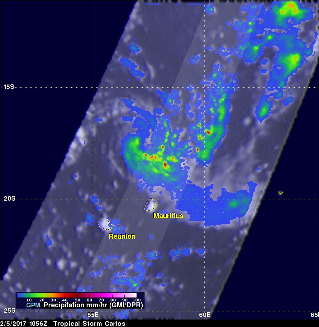
GPM collected data that showed the intensity and structure of precipitation within Carlos. GPM's Dual-Frequency Precipitation Radar (DPR) measured rain falling at a rate of over 100 mm (3.9 inches) per hour in intense feeder bands converging into Carlos' northeastern side.
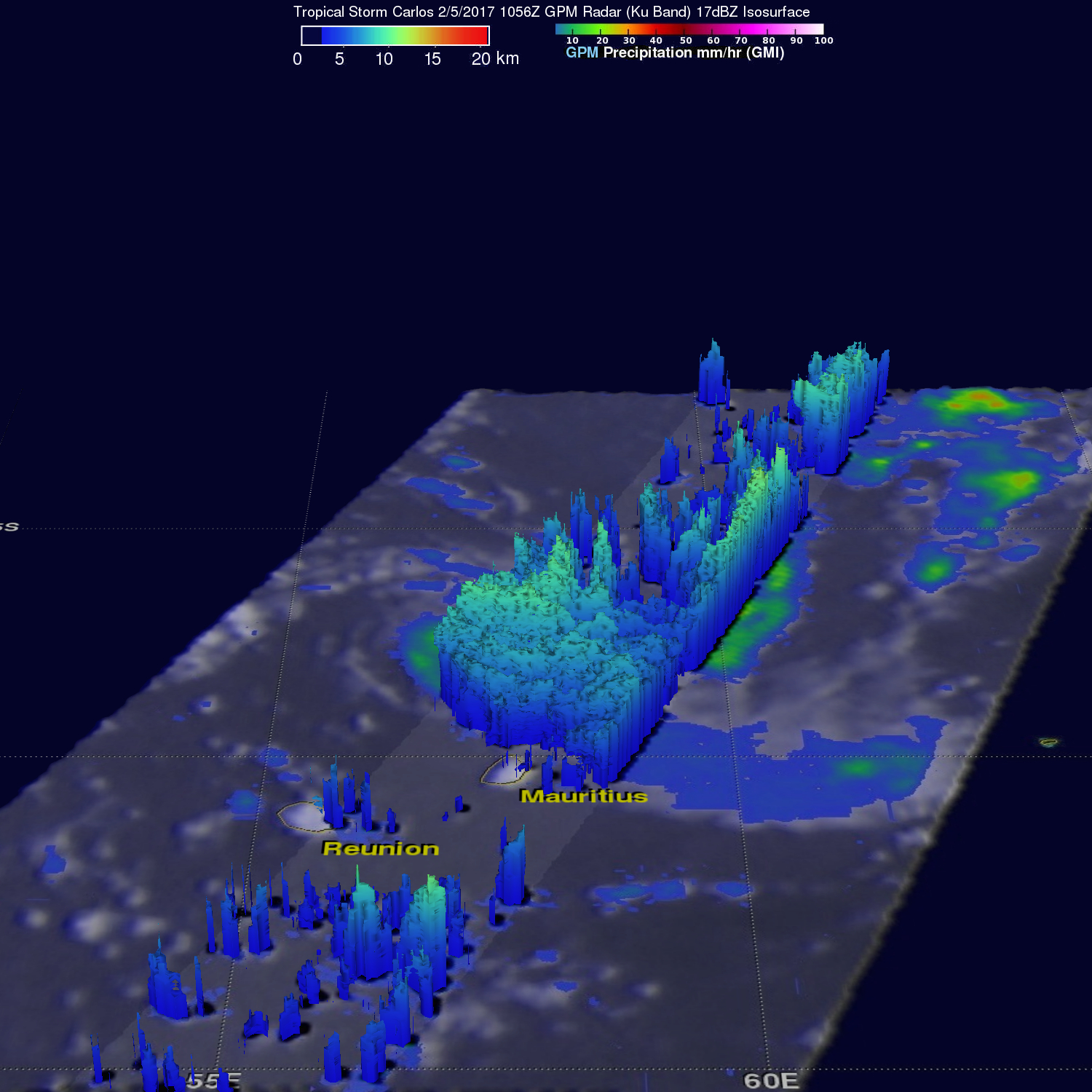
The 3-D vertical structure of tropical storm Carlos was examined by GPM's radar (DPR Ku Band). This inspection showed that some of the powerful storms around the tropical cyclone had storm tops reaching heights greater than 14 km (8.8 miles). Heavy showers in a few of these storms were bouncing radar reflectivity values of almost 49 dBZ values back to the GPM satellite.
The Joint Typhoon Warning Center (JTWC) predicts that warm sea surface temperatures and moderate vertical wind shear will allow Carlos' wind speeds to increase to 80 kts (92 mph) as it passes to the northwest of Reunion Island in a few days. This predicted wind speed will make it the equivalent of a category 1 hurricane on the Saffir-Simpson hurricane wind scale.