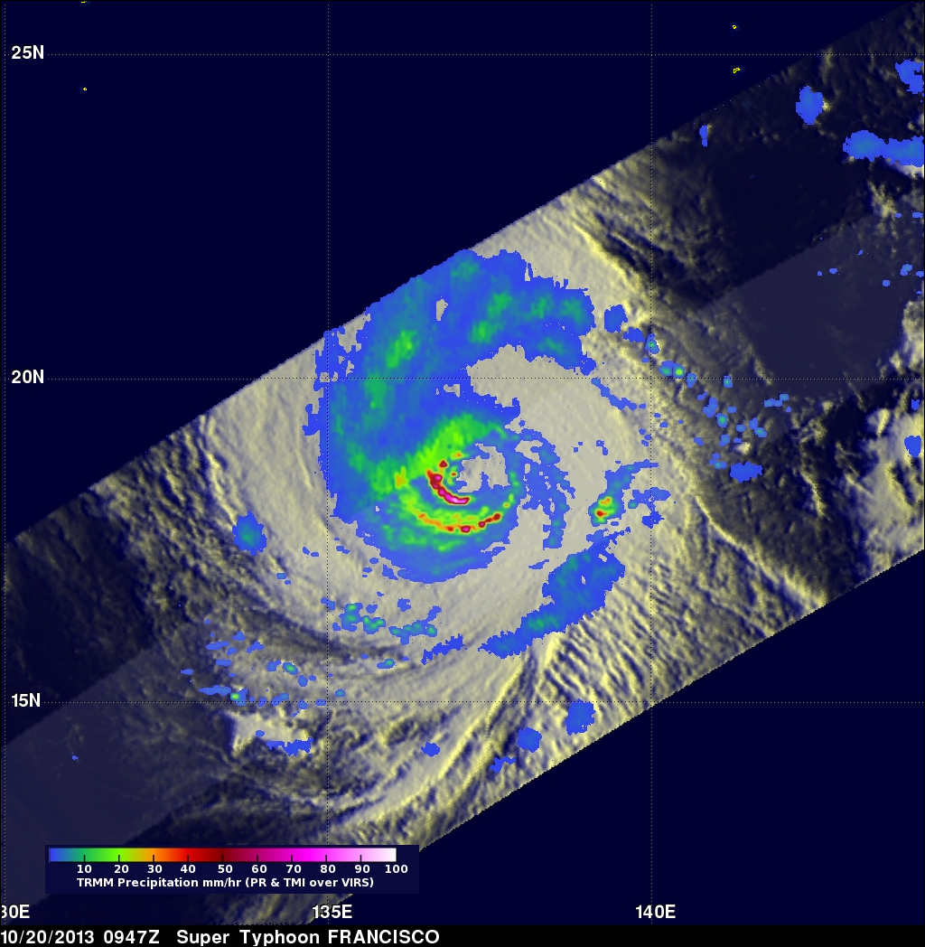
Super Typhoon Francisco Heads Toward Japan
Super typhoon Francisco is headed toward Japan as the country is still recovering from typhoon Wipha.
The TRMM satellite flew above the western Pacific and caught a good view of super typhoon Francisco on October 20, 2013 at 0947 UTC. A precipitation analysis from TRMM's Microwave Imager (TMI) and Precipitation Radar (PR) instruments found that rain was falling at the extreme rate of over 207 mm/hr (~8.1 inches) in an area of violent storms southwest of Francisco's eye.
TRMM's Precipitation Radar (PR) discovered radar reflectivity values of over 53dBZ in heavy precipitation south of Francisco's center. The Joint Typhoon Warning Center (JTWC) predicts that Super Typhoon Francisco, with current winds estimated at 140kts (~161 mph), will weaken to a category one typhoon with sustained winds of 75kts (~86 mph) as it nears southern Japan in about five days.


