
TRMM Sees Powerful Typhoon MA-ON
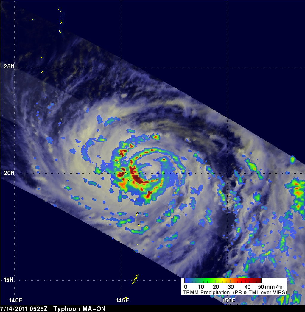
The TRMM satellite passed almost directly above powerful typhoon MA-ON on 14 July 2011 at 0525 UTC. This TRMM orbit revealed that MA-ON was extremely well organized with several bands of intense thunderstorms around a well defined eye. This rainfall analysis, using data from TRMM's Microwave Imager (TMI) and Precipitation Radar (PR), shows that the heaviest rainfall of over 50 mm/hr (~ 2 inches) was located in the southwestern quadrant of MA-ON's eye wall. MA-ON is predicted to become an even more dangerous super typhoon with wind speeds of 135 kts (155 mph) on 17 July 2011 while approaching the islands of southern Japan.
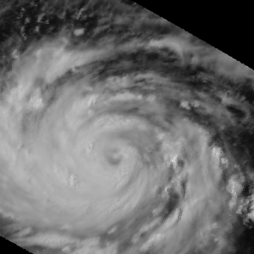
See an animated blend between a visible TRMM image (VIRS) and TMI PR rainfall images.