
TRMM Sees Subtropical Storm Sean
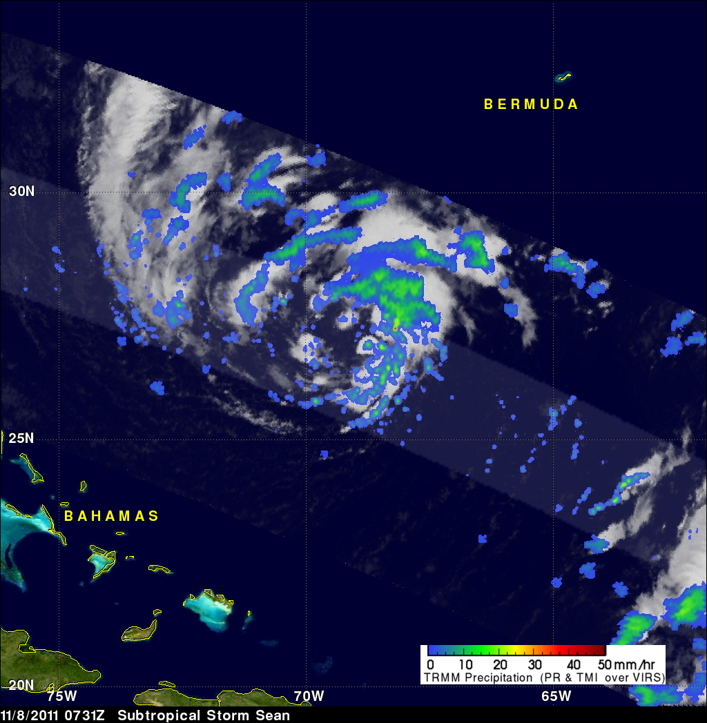
The National Hurricane Center (NHC) upgraded a low pressure center in the Atlantic Ocean to subtropical storm Sean at 0900 UTC ( 4:00 AM EDT). The TRMM satellite flew directly above Sean a little earlier on 8 November 2011 at 0731 UTC ( 2:31 AM EDT) collecting data used in the precipitation analyses shown.

TRMM Precipitation Radar (PR) data in the 3-D display above show that scattered moderate storms within Sean were reaching maximum heights of only about 11km (~6.8 miles). The "top down" view on the right above shows that Sean was well organized but most rainfall was of low to moderate intensity within scattered rain bands around Sean's center of circulation. Maximum reflectivity values of 48.2dBZ where found by TRMM PR within Sean indicating that some storms were dropping moderate to heavy rainfall.
Sean is predicted to stay over the open waters of the Atlantic Ocean and move to the northwest of Bermuda on Friday 11 November 2011.