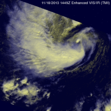
TRMM Views New Tropical Storm Melissa
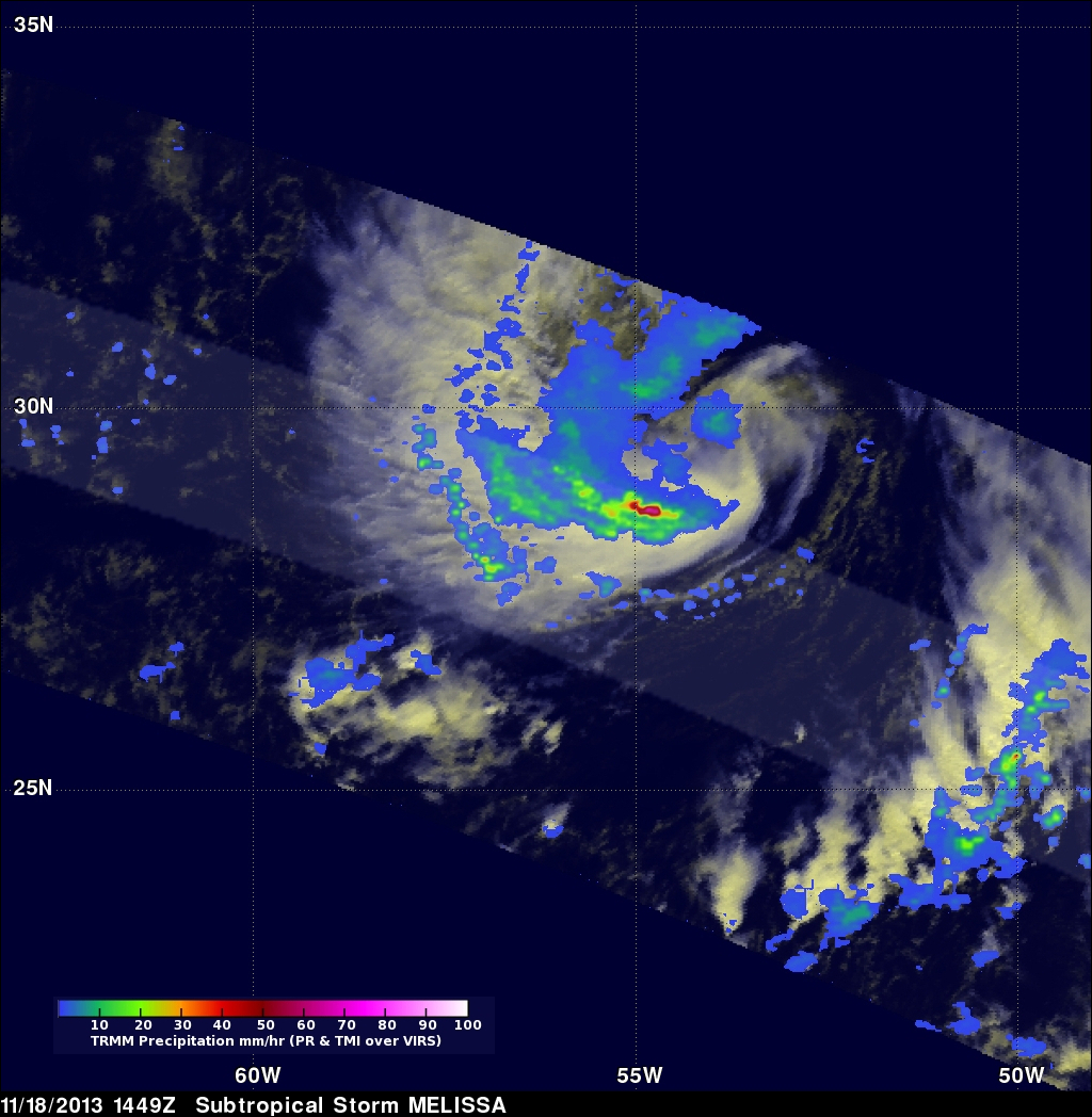
The TRMM satellite flew above recently formed subtropical storm MELISSA in the central Atlantic Ocean on November 18, 2013 at 1449 UTC (9:49 AM EST). The image above shows rainfall data from TRMM's Microwave Imager (TMI) and Precipitation Radar (PR) overlaid on an enhanced visible/infrared image from TRMM's Visible and InfraRed Scanner (VIRS).
This TRMM pass found that the heaviest rainfall within MELISSA was falling at a rate of over 74mm/hr (~2.9 inches) in an area of strong convective rainfall that was wrapping around the southern side of the storm. The National Hurricane Center (NHC) predicts that MELISSA will intensify with winds increasing from sustained winds of 45kts (~52 mph) to 55kts (~63 mph) tomorrow Tuesday November 19, 2013. MELISSA is expected to the move to the north-northeast over the open waters of the north Atlantic Ocean.