Tropical Depression Five Forms
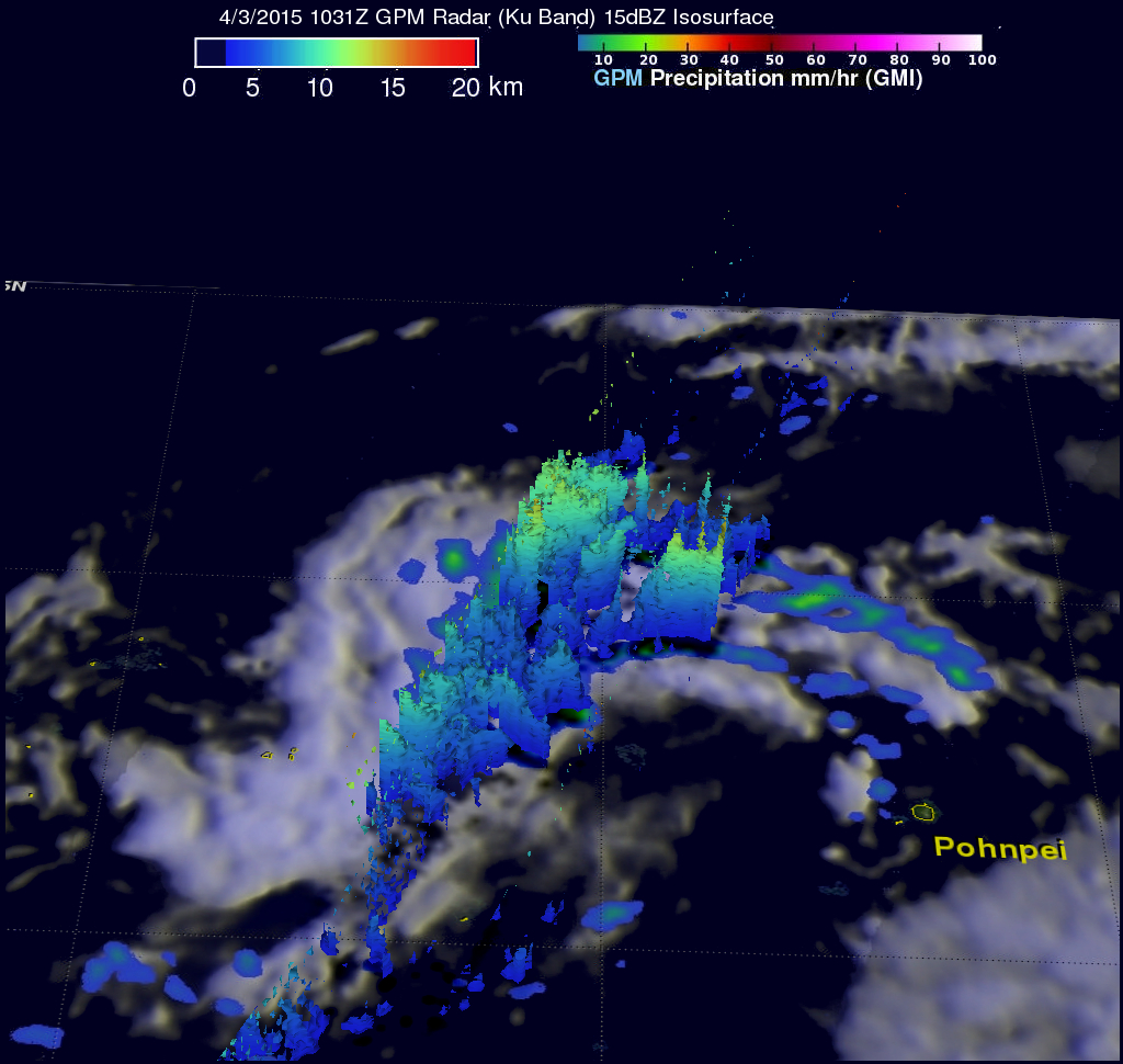
As typhoon Maysak heads toward the Philippines yet another tropical cyclone was born today in the the Pacific Ocean west of Pohnpei. The GPM core observatory satellite had a good view of tropical depression five on April 3, 2015 at 1031 UTC. GPM's Microwave Imager (GMI) found that rain was dropping at a rate of 22.4 mm (.9 inches) per hour in bands of convective storms located northwest of the center of circulation. The 3-D view from GPM's Dual-Frequency Precipitation Radar (Ku Band) shows that some of these storms were reaching heights of over 14.7 km (9.1 miles).


