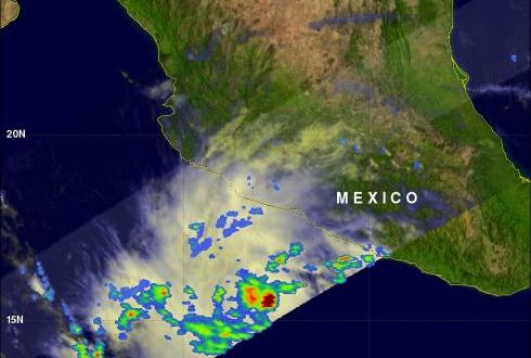
Tropical Depression Three Intensifying
Tropical depression Three was showing much better organization with more heavy rainfall when the TRMM satellite saw it again on 7 July 2011 at 1636 UTC. Data from TRMM's Microwave Imager (TMI) showed that heavy rainfall was present in a large area over the center of the intensifying depression and in a feeder band to the west of the center. There were also a few showers shown along the Mexican coast to the northwest of the storm.


