Tropical Storm Kong-Rey To Hit Taiwan Then Japan
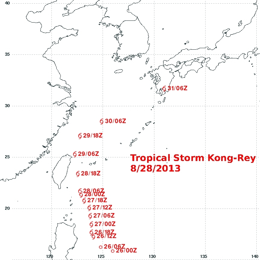
Tropical storm Kong-Rey formed in the western Pacific Ocean east of the Philippines on August 26, 2013. Kong-rey passed to the northeast of the Philippines and is predicted to cross over northeastern Taiwan tomorrow. In about three days it is then predicted to be the first tropical cyclone of 2013 to hit southern Japan.
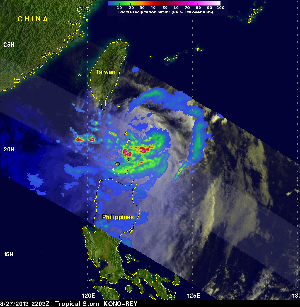
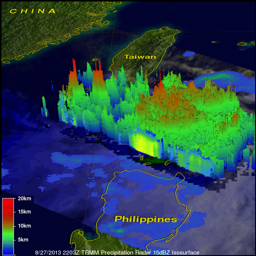
The TRMM satellite had an early morning view of tropical storm Kong-Rey on August 27, 2013 at 2203 UTC (~6:03 AM local time). A precipitation analysis from TRMM's Microwave Imager (TMI) and Precipitation Radar (PR) instruments is shown on the left above overlaid on an enhanced visible/infrared image from TRMM's Visible and InfraRed Scanner (VIRS). This analysis shows that Kong-Rey contains a large area of heavy rainfall. Some storms within Kong-Rey were found by TRMM PR to be dropping rain at the extreme rate of over 156mm/hr (~6.14 inches). A 3-D view on the right above using TRMM PR data found that a few very intense storms near Kong-Rey's center were reaching heights above 15km (~9.3 miles).


