Nathan

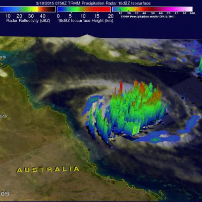
Cyclone Nathan Dissipates

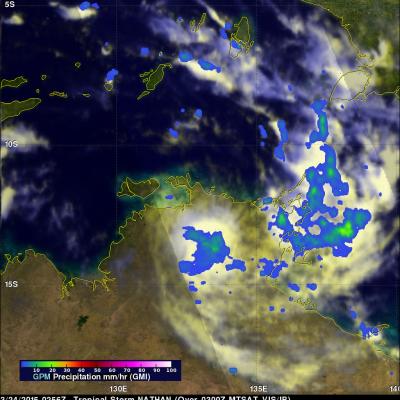
The GPM core observatory satellite saw dissipating cyclone Nathan when it flew over Australia's Top End on March 24, 2015 at 0256 UTC. Nathan was shown dropping light to moderate rain after being cut off from moisture flowing from the Arafura Sea and the Gulf Of Carpentaria. The Joint Typhoon Warning Center (JTWC) predicts that Nathan will continue to weaken for the next few days while traveling westward over land.

Cyclone Nathan Circles Back

Cyclone Nathan located in the Coral Sea off Australia's Queensland coast has made another loop and is again headed slowly toward the Cape York Peninsula. Rainfall derived from the TRMM satellite's Microwave Imager (TMI) and Precipitation Radar (PR) instruments is shown with data collected on March 18, 2015 at 0758 UTC. The heaviest rainfall was measured by TRMM PR falling at a rate of over 119 mm (4.7 inches) on the eastern side of Nathan's eye. TRMM PR data were used in this 3-D view of cyclone Nathan. Storm heights in a rain band circling Nathan's northwestern side were found reaching