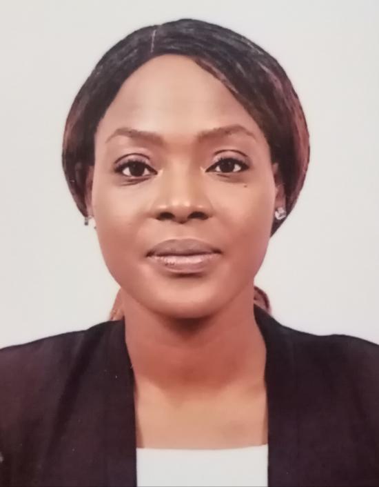
Charlene Gaba - Evaluating the GPM IMERG Late Product Against Ground Data for an Application for a Hydrological Modelling Online Platform
Overview: This project evaluates the GPM IMERG Late product against ground data to develop applications for a hydrological modelling online platform.
Mentor: Mircea Grecu
2022 GPM Mentorship Program
Charlene Gaba - Evaluating the GPM IMERG Late Product Against Ground Data for an Application for a Hydrological Modelling Online Platform
Participant Name: Charlene Gaba
Project: Evaluating the GPM IMERG Late Product Against Ground Data for an Application for a Hydrological Modelling Online Platform
Affiliation: AGRHYMET Regional Climate Center, West Africa and Sahel (CCR-AOS), Niamey, Niger
Current role: Postdoctoral Research Assistant
Mentor: Mircea Grecu
Download Final Presentation (.pdf)
Why are you participating in this program?
I really liked the fact of looking more closely into how the product is generated, some possible uses and working on a personal project with the assistance of a mentor.
What is the focus of your GPM mentorship project?
Evaluating the GPM IMERG Late product against ground data for an application for a hydrological modelling online platform.
What communities or organizations may benefit from your case study project?
West African countries and their organizations including meteorological national services, floods early warning systems, civil society, private organizations, and NGOs.
What is something surprising that you have learned about the GPM mission, the data, or applying GPM data for applications?
I was particularly impressed by the various sources of information, all the instruments which are deployed, and the techniques used to develop a high-quality final product.
What is a challenge you faced with using remote sensing data? Any lessons learned that helped overcome this barrier?
Over some regions, there are overestimations of precipitation. We learned to define adapted evaluation criteria when comparing the remote sensed data with ground data.
How do you plan to use GPM in the future?
My project is on-going so I will continue working on it.


