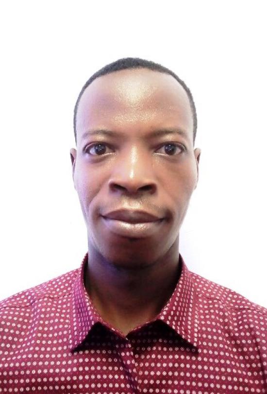
Idelbert Behanzin - Characterizing Spatial and Temporal Extreme Precipitation Events over West Africa
Overview: This project uses IMERG to characterize the spatial and temporal extreme precipitation events over West Africa.
Mentor: Mircea Grecu
2022 GPM Mentorship Program
Idelbert Behanzin - Characterizing Spatial and Temporal Extreme Precipitation Events over West Africa
Participant Name: Idelbert Behanzin
Project: Characterizing Spatial and Temporal Extreme Precipitation Events over West Africa
Affiliation: The West African Science Service Center on Climate Change and Adapted Land Use
Current role: Environmental Interdisciplinary Specialist
Mentor: Mircea Grecu
Download Final Presentation (.pdf)
Why are you participating in this program?
For a few reasons: (1) to fill a knowledge gap I have been facing about IMERG and its applications for extreme analysis in West Africa; (2) to gain a better understanding of Global Precipitation Measurement Missions (PMM) and how IMERG data can be used to solve the real-world problems; and (3) to advance my scientific knowledge of IMERG data application for extreme precipitation analysis and apply it to West Africa region.
What is the focus of your GPM mentorship project?
Use IMERG to characterize the spatial and temporal extreme precipitation events over West Africa.
What communities or organizations may benefit from your case study project?
Researchers, Ministries of Environment and Agriculture in West Africa, disaster management agencies, National Meteorological Services, Economic Community of West African States(ECOWAS), Local communities, and NGOs as well as other international development agencies.
What is something surprising that you have learned about the GPM mission, the data, or applying GPM data for applications?
Something surprising I learned is the consistency of IMERG over time is not assured as changes in the constellation may affect the data. Therefore, we should be careful when looking at a long record. Additionally, the use of GPM data for potential applications for electricity utility.
What is a challenge you faced with using remote sensing data? Any lessons learned that helped overcome this barrier?
A few challenges that I face are:
- Good access to internet for downloading the data
- Technical knowledge gap (coding skills) for applying the data to fit my research goal
Some lessons learned with using remote sensing data are:
- IMERG data can be used to advance understanding of precipitation knowledge and have a wide range application for the benefit of society
- Identify the knowledgeable mentors in the specific area of interest can help to overcome research bottlenecks and fill knowledge gap
- Online teaching trainings contribute to transferable knowledge skills and contribute to reduce technical capacity gaps
How do you plan to use GPM in the future?
Research purposes


