Revisiting Hurricane Dorian
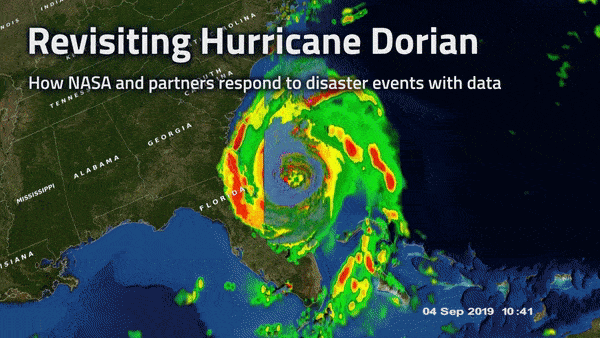
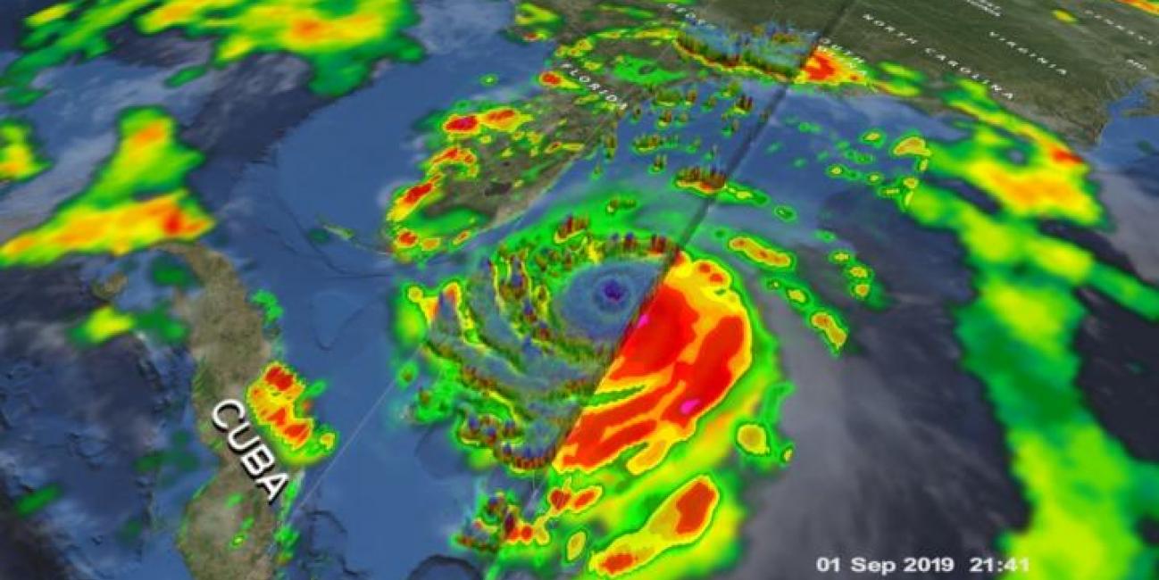
Tropical cyclones, known as hurricanes in the western hemisphere, can bring damaging high winds, storm surge, and flooding rainfall to the coastal communities they hit. Satellite instruments - and the detailed near real-time atmospheric data that they provide - have revolutionized the way we see hurricanes and other disasters as they happen. But it’s about more than just seeing. NASA, working with counterparts at NOAA, FEMA, and elsewhere are sharing ever more precise data to aid local communities in coping with disasters. With better information, emergency responders have the tools to make informed decisions at critical moments.
As we prepare for the start of the Atlantic Hurricane Season on June 1st, take a look at 2019’s Hurricane Dorian and how NASA and partner satellites tracked the storm and its impacts to aid response and recovery efforts in the Bahamas. Studying past hurricanes like Dorian can help us better prepare for the hurricanes of the future.